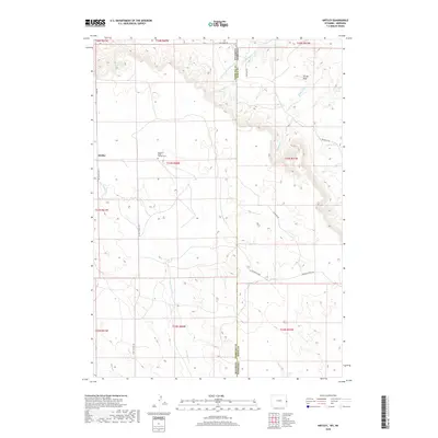
2018 Map of Kirtley
USGS Topo · Published 2018About this map
Kirtley sits on the western edge of this High Plains survey, positioned near the border between Wyoming and Nebraska. The landscape is defined by the high ground of Pleasant Ridge and the prominent Turner Peak, where the drainage network begins to carve into the plateau. Genealogists and local historians will find the Pleasant Ridge Pioneer Cem centrally located on a ridge, serving as a quiet marker of the early ranching families who settled this arid territory.
Find a feature on this map
29 named features on this map. Tap any name to fly to it.
Don’t see what you’re looking for? This feature index may not catch every label — zoom into the map to look around manually.
Map Details
Editions of this 2018 Kirtley Map
This is the sole edition of this map. No revisions or reprints were ever made.
Other maps of this area

1954 · Torrington
USGS Topo · 1:250,000

1955 · Alliance
USGS Topo · 1:250,000

1957 · Alliance
USGS Topo · 1:250,000

1958 · Torrington
USGS Topo · 1:250,000

1958 · Alliance
USGS Topo · 1:250,000

1974 · Mc Master Reservoir
USGS Topo · 1:24,000

1977 · Van Tassell
USGS Topo · 1:24,000

1978 · Shepherds Point
USGS Topo · 1:24,000

1978 · Kirtley SW
USGS Topo · 1:24,000

1978 · Harrison West
USGS Topo · 1:24,000