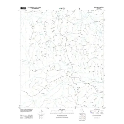
2012 Map of Kisatchie
USGS Topo · Published 2012About this map
Kisatchie and the settlement of Kile anchor this portion of central Louisiana, where the landscape is defined by the winding course of Kisatchie Bayou and its numerous tributaries. The area is dense with sites for genealogical research, including the Old Kisatchie Cemetery, New Kisatchie Cemetery, and several family-named burial grounds like Billy Dowden Cemetery and Booty Cemetery.
Find a feature on this map
62 named features on this map. Tap any name to fly to it.
Don’t see what you’re looking for? This feature index may not catch every label — zoom into the map to look around manually.
Map Details
Editions of this 2012 Kisatchie Map
This is the sole edition of this map. No revisions or reprints were ever made.
Other maps of this area

1937 · Bellwood
USGS Topo · 1:31,680

1937 · Cypress
USGS Topo · 1:31,680

1942 · Many
USGS Topo · 1:62,500

1942 · Florien
USGS Topo · 1:62,500

1942 · Kisatchie
USGS Topo · 1:62,500

1943 · Many
USGS Topo · 1:62,500

1943 · Kisatchie
USGS Topo · 1:62,500

1943 · Provencal
USGS Topo · 1:62,500

1944 · Florien
USGS Topo · 1:62,500

1945 · Provencal
USGS Topo · 1:62,500