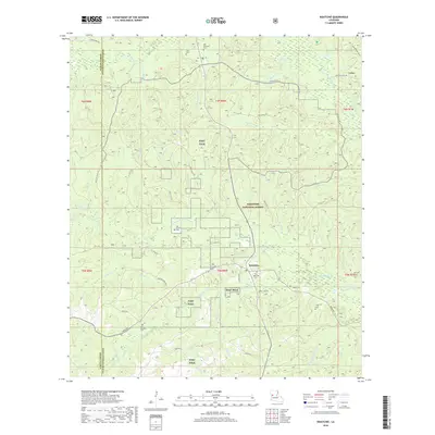
2018 Map of Kisatchie
USGS Topo · Published 2018About this map
Kisatchie National Forest dominates this section of the Louisiana uplands, where the boundary between Sabine Parish and Natchitoches Parish runs through a landscape of creek bottoms and sandy ridges. The area is characterized by a high density of rural burial grounds, including the Old Kisatchie Cem and New Kisatchie Cem, which serve the small community of Kisatchie. Large portions of the terrain are occupied by the military installations of Fort Polk, which overlap with the forest lands and parish lines.
Find a feature on this map
56 named features on this map. Tap any name to fly to it.
Don’t see what you’re looking for? This feature index may not catch every label — zoom into the map to look around manually.
Map Details
Editions of this 2018 Kisatchie Map
This is the sole edition of this map. No revisions or reprints were ever made.
Other maps of this area

1937 · Bellwood
USGS Topo · 1:31,680

1937 · Cypress
USGS Topo · 1:31,680

1942 · Many
USGS Topo · 1:62,500

1942 · Florien
USGS Topo · 1:62,500

1942 · Kisatchie
USGS Topo · 1:62,500

1943 · Many
USGS Topo · 1:62,500

1943 · Kisatchie
USGS Topo · 1:62,500

1943 · Provencal
USGS Topo · 1:62,500

1944 · Florien
USGS Topo · 1:62,500

1945 · Provencal
USGS Topo · 1:62,500