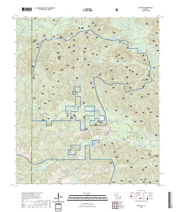
2024 Map of Kisatchie
USGS Topo · Published 2024About this map
The Kisatchie National Forest defines this part of Natchitoches Parish, where the rugged terrain of Peason Ridge meets a complex network of bayous and springs. A significant portion of the landscape is dedicated to the Peason Ridge Training Area, a military facility associated with Fort Polk. Despite the military and forestry presence, the map preserves the locations of numerous historic burial grounds, such as the Old Kisatchie Cem and Billy Dowden Cem, which speak to the area's deep-rooted family histories.
Find a feature on this map
73 named features on this map. Tap any name to fly to it.
Don’t see what you’re looking for? This feature index may not catch every label — zoom into the map to look around manually.
Map Details
Editions of this 2024 Kisatchie Map
This is the sole edition of this map. No revisions or reprints were ever made.
Other maps of this area

1937 · Bellwood
USGS Topo · 1:31,680

1937 · Cypress
USGS Topo · 1:31,680

1942 · Many
USGS Topo · 1:62,500

1942 · Florien
USGS Topo · 1:62,500

1942 · Kisatchie
USGS Topo · 1:62,500

1943 · Many
USGS Topo · 1:62,500

1943 · Kisatchie
USGS Topo · 1:62,500

1943 · Provencal
USGS Topo · 1:62,500

1944 · Florien
USGS Topo · 1:62,500

1945 · Provencal
USGS Topo · 1:62,500