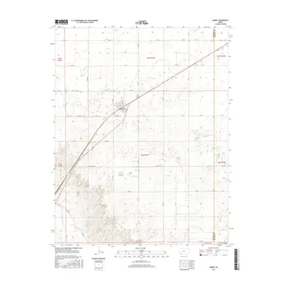
2016 Map of Kismet
USGS Topo · Published 2016About this map
Kismet stands as the primary hub of this High Plains landscape, situated at the intersection of a diagonal rail corridor and a grid of rural section roads. The town's layout is clearly defined by Market St and Chestnut St, serving as a localized center of activity amidst the expansive agricultural terrain of Seward County. To the southwest, the topography shifts dramatically as the land descends toward the Cimarron River, which cuts a wide, braided path across the corner of the map. This river valley provides a stark contrast to the surrounding plateau, with rugged drainage patterns following River Rd and Davies Rd. The placement of Rodeo Ave and Meade Lake Rd highlights the local transportation network that links these isolated settlements and natural water features in a region defined by its vast scale and sparse population centers.
Find a feature on this map
46 named features on this map. Tap any name to fly to it.
Don’t see what you’re looking for? This feature index may not catch every label — zoom into the map to look around manually.
Map Details
Editions of this 2016 Kismet Map
This is the sole edition of this map. No revisions or reprints were ever made.
Other maps of this area

1955 · Dodge City
USGS Topo · 1:250,000

1958 · Dodge City
USGS Topo · 1:250,000

1959 · Dodge City
USGS Topo · 1:250,000

1963 · Plains
USGS Topo · 1:24,000

1963 · Kismet SE
USGS Topo · 1:24,000

1963 · Kismet NE
USGS Topo · 1:24,000

1968 · Plains SW
USGS Topo · 1:24,000

1968 · Liberal NE
USGS Topo · 1:24,000

1968 · Sublette SE
USGS Topo · 1:24,000
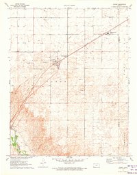
1971 · Kismet
USGS Topo · 1:24,000