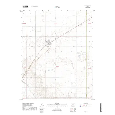
2018 Map of Kismet
USGS Topo · Published 2018About this map
Kismet serves as the primary hub of activity in this southwestern Kansas landscape, situated near the intersection of several local routes such as North St and Market St. The town's grid is bounded to the south by Rodeo Ave, with Chestnut St providing a central corridor. The surrounding terrain is characterized by a sparse, high-plains topography where the agricultural grid is occasionally broken by the winding path of the Cimarron River in the southwestern corner. Local travel is defined by a network of county roads including Meade Lake Rd and Triple Rd, which connect the scattered homesteads and industrial sites typical of this Seward County region. The eastern boundary of the map follows the line between Seward and Meade Counties, illustrating the precise administrative divisions that govern this section of the High Plains.
Find a feature on this map
37 named features on this map. Tap any name to fly to it.
Don’t see what you’re looking for? This feature index may not catch every label — zoom into the map to look around manually.
Map Details
Editions of this 2018 Kismet Map
This is the sole edition of this map. No revisions or reprints were ever made.
Other maps of this area

1955 · Dodge City
USGS Topo · 1:250,000

1958 · Dodge City
USGS Topo · 1:250,000

1959 · Dodge City
USGS Topo · 1:250,000

1963 · Plains
USGS Topo · 1:24,000

1963 · Kismet SE
USGS Topo · 1:24,000

1963 · Kismet NE
USGS Topo · 1:24,000

1968 · Plains SW
USGS Topo · 1:24,000

1968 · Liberal NE
USGS Topo · 1:24,000

1968 · Sublette SE
USGS Topo · 1:24,000
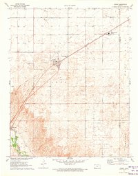
1971 · Kismet
USGS Topo · 1:24,000