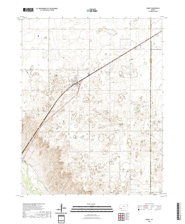
2022 Map of Kismet
USGS Topo · Published 2022About this map
Kismet sits as the central hub of this High Plains landscape, where the grid of the Public Land Survey System dictates the movement of people and commerce. The town is defined by a compact residential grid including North St, Chestnut St, and Market St, oriented along the diagonal path of the regional highway and rail corridor. To the southwest, the Cimarron River carves a winding path through the terrain, a stark contrast to the straight-line reliability of the surrounding section roads.
Find a feature on this map
37 named features on this map. Tap any name to fly to it.
Don’t see what you’re looking for? This feature index may not catch every label — zoom into the map to look around manually.
Map Details
Editions of this 2022 Kismet Map
This is the sole edition of this map. No revisions or reprints were ever made.
Other maps of this area

1955 · Dodge City
USGS Topo · 1:250,000

1958 · Dodge City
USGS Topo · 1:250,000

1959 · Dodge City
USGS Topo · 1:250,000

1963 · Plains
USGS Topo · 1:24,000

1963 · Kismet SE
USGS Topo · 1:24,000

1963 · Kismet NE
USGS Topo · 1:24,000

1968 · Plains SW
USGS Topo · 1:24,000

1968 · Liberal NE
USGS Topo · 1:24,000

1968 · Sublette SE
USGS Topo · 1:24,000
1971 · Kismet
USGS Topo · 1:24,000