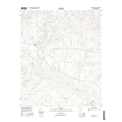
2017 Map of Kitchings Mill
USGS Topo · Published 2017About this map
The S Fork Edisto River carves a broad, marshy corridor through this landscape, defining the character of the region south of Kitchings Mill. This 2017 survey details a landscape where numerous small impoundments and wetlands, such as Baughmans Pond and Goodyear Pond, dot the tributaries feeding into the river system. The settlement pattern is scattered, with significant activity centered around recreational and natural landmarks like Aiken State Park Lake. Historians and genealogists can identify several key river crossings, including Pine Log Bridge and Keadle Bridge, which have long facilitated travel across the swampy lowlands. To the northeast, Tyler Cem and the waters of Dean Swamp Cr mark established landmarks, while the presence of Sandy Island near Davis Bridge illustrates the complex alluvial geography of the S Fork Edisto River valley.
Find a feature on this map
85 named features on this map. Tap any name to fly to it.
Don’t see what you’re looking for? This feature index may not catch every label — zoom into the map to look around manually.
Map Details
Editions of this 2017 Kitchings Mill Map
This is the sole edition of this map. No revisions or reprints were ever made.
Other maps of this area

1920 · Aiken
USGS Topo · 1:48,000

1920 · Talatha
USGS Topo · 1:48,000

1921 · Aiken
USGS Topo · 1:62,500

1921 · Talatha
USGS Topo · 1:62,500

1923 · Williston
USGS Topo · 1:48,000

1927 · Williston
USGS Topo · 1:62,500

1943 · Aiken
USGS Topo · 1:62,500

1943 · Augusta East
USGS Topo · 1:125,000

1943 · Williston
USGS Topo · 1:62,500

1943 · Talatha
USGS Topo · 1:62,500