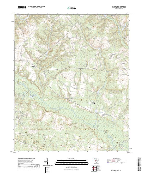
2024 Map of Kitchings Mill
USGS Topo · Published 2024About this map
The South Fork Edisto River carves through this Aiken County landscape, anchoring a network of wetlands and ponds that define the region's geography. Near the center of the sheet, Kitchings Mill stands as a focal point of local history, surrounded by a rural infrastructure of family and community landmarks. The map reveals a high concentration of sites important for genealogical research, including the Tabernacle Church and its adjacent Tabernacle Graveyard, as well as the Smyrna Church and Smyrna Church Graveyard.
Find a feature on this map
101 named features on this map. Tap any name to fly to it.
Don’t see what you’re looking for? This feature index may not catch every label — zoom into the map to look around manually.
Map Details
Editions of this 2024 Kitchings Mill Map
This is the sole edition of this map. No revisions or reprints were ever made.
Other maps of this area

1920 · Aiken
USGS Topo · 1:48,000

1920 · Talatha
USGS Topo · 1:48,000

1921 · Aiken
USGS Topo · 1:62,500

1921 · Talatha
USGS Topo · 1:62,500

1923 · Williston
USGS Topo · 1:48,000

1927 · Williston
USGS Topo · 1:62,500

1943 · Aiken
USGS Topo · 1:62,500

1943 · Augusta East
USGS Topo · 1:125,000

1943 · Williston
USGS Topo · 1:62,500

1943 · Talatha
USGS Topo · 1:62,500