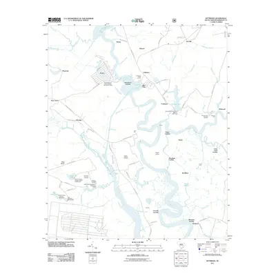
2011 Map of Kittredge
USGS Topo · Published 2011About this map
The West Branch Cooper River and East Branch Cooper River converge in this Lowcountry landscape, defining a region where historic riverfront landings were once central to the plantation economy. Local history is deeply embedded in the riverside settlements and estate grounds, with numerous burial sites such as the Strawberry Chapel Cemetery, Bonneau Ferry Plantation Cemetery, and Medway Plantation Cemetery preserved across the terrain. The map documents a network of landings including Strawberry Landing, Hagan Landing, and Cote Bas Landing, alongside larger tracts like the Bonnie Reserve. Traces of the area's agricultural and industrial past are visible through features like Saw Mill, the canal-like Big Dam Lead, and the naming of The Tee at the river's junction, illustrating how the water-bound geography dictated the development of Berkeley County.
Find a feature on this map
84 named features on this map. Tap any name to fly to it.
Don’t see what you’re looking for? This feature index may not catch every label — zoom into the map to look around manually.
Map Details
Editions of this 2011 Kittredge Map
This is the sole edition of this map. No revisions or reprints were ever made.
Other maps of this area

1919 · Ladson
USGS Topo · 1:21,120

1919 · Summerville
USGS Topo · 1:48,000

1919 · Wando
USGS Topo · 1:21,120

1919 · Cordesville
USGS Topo · 1:48,000

1919 · Melgrove
USGS Topo · 1:21,120

1920 · Ravenels
USGS Topo · 1:62,500

1920 · Summerville
USGS Topo · 1:62,500

1940 · Melgrove
USGS Topo · 1:24,000

1943 · Wando
USGS Topo · 1:24,000

1943 · Ladson
USGS Topo · 1:24,000