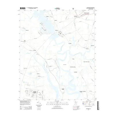
2014 Map of Kittredge
USGS Topo · Published 2014About this map
Strawberry Chapel and the historic site of Childsbury stand as remnants of colonial-era settlement patterns along the West Branch Cooper River. This Lowcountry landscape is defined by the winding course of the Cooper River, where numerous former rice plantations are marked by surviving family and plantation cemeteries, including Parnassus Plantation and Medway Plantation. The northern reaches include a portion of the Francis Marion National Forest, where labels like Saw Mill and Wagonwheel Path suggest the enduring importance of the timber industry and rural transport networks.
Find a feature on this map
115 named features on this map. Tap any name to fly to it.
Don’t see what you’re looking for? This feature index may not catch every label — zoom into the map to look around manually.
Map Details
Editions of this 2014 Kittredge Map
This is the sole edition of this map. No revisions or reprints were ever made.
Other maps of this area

1919 · Ladson
USGS Topo · 1:21,120

1919 · Summerville
USGS Topo · 1:48,000

1919 · Wando
USGS Topo · 1:21,120

1919 · Cordesville
USGS Topo · 1:48,000

1919 · Melgrove
USGS Topo · 1:21,120

1920 · Ravenels
USGS Topo · 1:62,500

1920 · Summerville
USGS Topo · 1:62,500

1940 · Melgrove
USGS Topo · 1:24,000

1943 · Wando
USGS Topo · 1:24,000

1943 · Ladson
USGS Topo · 1:24,000