2022 Map of Kittrell
USGS Topo · Published 2022About this map
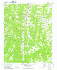
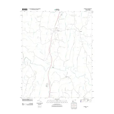
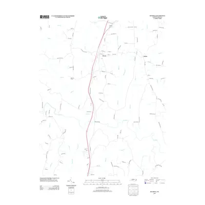
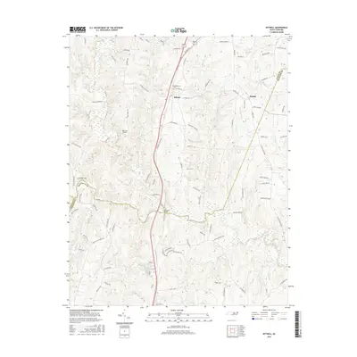
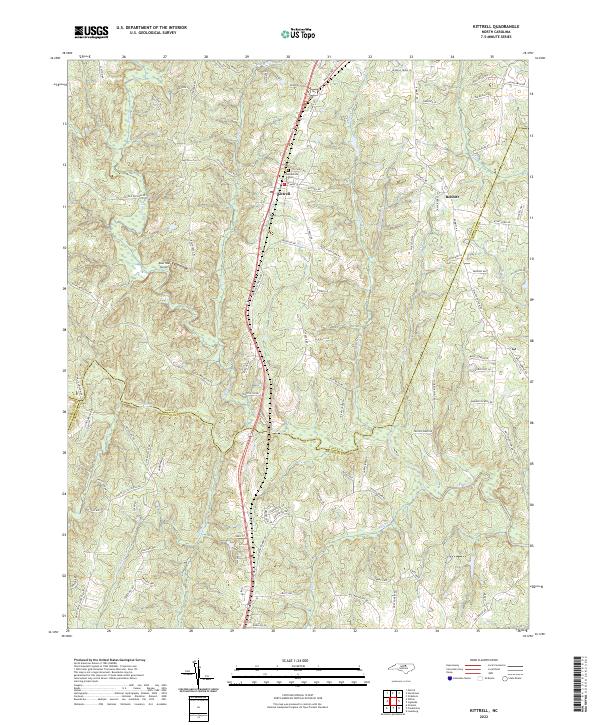
Kittrell serves as a focal point in this landscape where the boundaries of Vance, Franklin, and Granville counties converge. The town's historical depth is anchored by the Confederate Cem near E Main St, while its modern transportation character is defined by the CSX railroad corridor running parallel to Raleigh Rd. This area of the North Carolina Piedmont is deeply incised by a dense network of watercourses, including the Tar River, Buffalo Cr, and Mill Cr, which create the undulating terrain surrounding Green Hill.
Find a feature on this map
97 named features on this map. Tap any name to fly to it.
Don’t see what you’re looking for? This feature index may not catch every label — zoom into the map to look around manually.
Map Details
Editions of this 2022 Kittrell Map
This is the sole edition of this map. No revisions or reprints were ever made.
Historical Maps of Kittrell Through Time
6 maps found