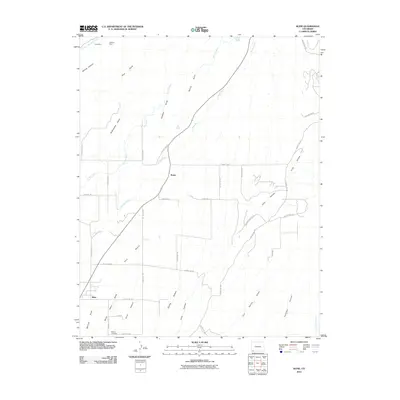
2010 Map of Kline
USGS Topo · Published 2010About this map
Breen and Kline serve as the primary hubs in this corner of La Plata County, where the landscape is defined by the winding course of the La Plata River. The settlement pattern follows a grid of county roads that intersect with a complex network of canyons and draws, such as Long Hollow and Soldiers Draw. Agricultural life is evident through the extensive irrigation infrastructure, including the Hay Gulch Irrigation Ditch and the Big Stick Ditch, which redirect water across the high terrain of Red Mesa.
Find a feature on this map
43 named features on this map. Tap any name to fly to it.
Don’t see what you’re looking for? This feature index may not catch every label — zoom into the map to look around manually.
Map Details
Editions of this 2010 Kline Map
This is the sole edition of this map. No revisions or reprints were ever made.
Other maps of this area

1895 · La Plata
USGS Topo · 1:62,500

1897 · La Plata
USGS Topo · 1:62,500

1898 · Durango
USGS Topo · 1:62,500

1899 · La Plata
USGS Topo · 1:62,500

1907 · Durango
USGS Topo · 1:62,500

1908 · Ignacio
USGS Topo · 1:125,000

1908 · Durango
USGS Topo · 1:62,500

1908 · La Plata
USGS Topo · 1:62,500

1913 · Red Mesa
USGS Topo · 1:62,500

1924 · Ignacio
USGS Topo · 1:125,000