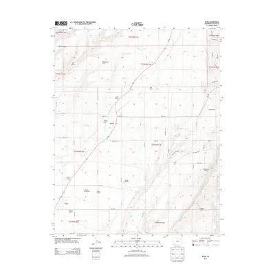
2013 Map of Kline
USGS Topo · Published 2013About this map
Kline and Breen anchor this high-desert landscape in La Plata County, where the La Plata River cuts a deep path through a series of mesas and drainages. The map reveals an intricate network of water management essential to the region, including the Hay Gulch Irrigation Ditch and the Big Stick Ditch, which redirect water across the dry terrain. The topography is defined by a complex system of draws and hollows such as Soldiers Draw, Church Hollow, and Butch Henry Draw, illustrating the erosive power of seasonal runoff in the Four Corners region. In the southern reaches, the Marvel Cem provides a point of genealogical interest near the junction of local routes. The variety of named features like Red Mesa and Shalako Canyon highlights the unique geomorphology of this southwestern Colorado plateau, showing how local roads like Co RD 140 navigate the natural breaks in the land.
Find a feature on this map
57 named features on this map. Tap any name to fly to it.
Don’t see what you’re looking for? This feature index may not catch every label — zoom into the map to look around manually.
Map Details
Editions of this 2013 Kline Map
This is the sole edition of this map. No revisions or reprints were ever made.
Other maps of this area

1895 · La Plata
USGS Topo · 1:62,500

1897 · La Plata
USGS Topo · 1:62,500

1898 · Durango
USGS Topo · 1:62,500

1899 · La Plata
USGS Topo · 1:62,500

1907 · Durango
USGS Topo · 1:62,500

1908 · Ignacio
USGS Topo · 1:125,000

1908 · Durango
USGS Topo · 1:62,500

1908 · La Plata
USGS Topo · 1:62,500

1913 · Red Mesa
USGS Topo · 1:62,500

1924 · Ignacio
USGS Topo · 1:125,000