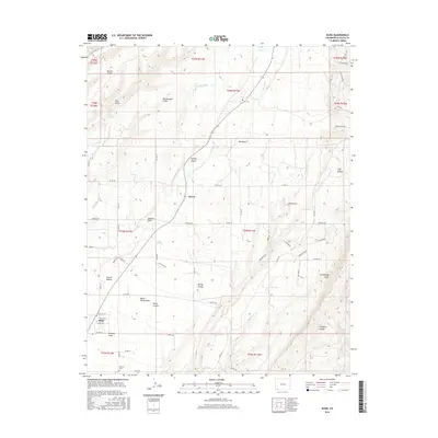
2016 Map of Kline
USGS Topo · Published 2016About this map
The La Plata River winds through this corner of La Plata County, carving a network of canyons and draws across the plateau. The small settlements of Breen and Kline anchor the local geography, with Kline situated near the southern edge where Mooney Draw and Butch Henry Draw meet. This 2016 survey illustrates the persistent agricultural and ranching layout of the region, evidenced by the Big Stick Ditch irrigation system and numerous roads like Co RD 128 and Co RD 127 that follow the section lines of the Public Land Survey System.
Find a feature on this map
63 named features on this map. Tap any name to fly to it.
Don’t see what you’re looking for? This feature index may not catch every label — zoom into the map to look around manually.
Map Details
Editions of this 2016 Kline Map
This is the sole edition of this map. No revisions or reprints were ever made.
Other maps of this area

1895 · La Plata
USGS Topo · 1:62,500

1897 · La Plata
USGS Topo · 1:62,500

1898 · Durango
USGS Topo · 1:62,500

1899 · La Plata
USGS Topo · 1:62,500

1907 · Durango
USGS Topo · 1:62,500

1908 · Ignacio
USGS Topo · 1:125,000

1908 · Durango
USGS Topo · 1:62,500

1908 · La Plata
USGS Topo · 1:62,500

1913 · Red Mesa
USGS Topo · 1:62,500

1924 · Ignacio
USGS Topo · 1:125,000