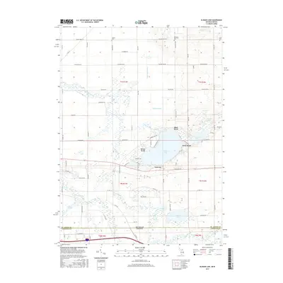
2017 Map of Klinger Lake
USGS Topo · Published 2017About this map
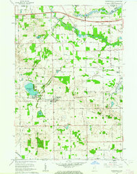
Klinger Lake serves as the central hub of this borderland survey, surrounded by established lakeside communities including Bluff Beach, Sandy Beach, Breezy Beach, and Oakwood. The landscape is defined by its complex glacial hydrology, where smaller basins like Tamarack Lake, Grass Lake, and the Marl Lakes cluster among the drainage systems of the Fawn River and Pigeon River. The terrain features the curious Devils Hole and Mound Spring, indicating a region of varied elevation and natural springs.
Find a feature on this map
79 named features on this map. Tap any name to fly to it.
Don’t see what you’re looking for? This feature index may not catch every label — zoom into the map to look around manually.
Map Details
Editions of this 2017 Klinger Lake Map
This is the sole edition of this map. No revisions or reprints were ever made.
Other maps of this area
1914 · Three Rivers
USGS Topo · 1:62,500
1916 · Three Rivers
USGS Topo · 1:62,500
1943 · Three Rivers
USGS Topo · 1:62,500
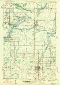
1947 · Lagrange
USGS Topo · 1:24,000

1953 · Fort Wayne
USGS Topo · 1:250,000

1956 · Fort Wayne
USGS Topo · 1:250,000
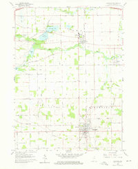
1960 · Lagrange
USGS Topo · 1:24,000
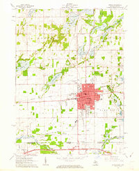
1961 · Sturgis
USGS Topo · 1:24,000
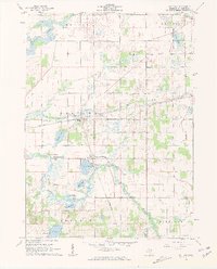
1961 · Nottawa
USGS Topo · 1:24,000
1961 · Shipshewana
USGS Topo · 1:24,000