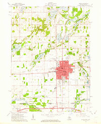
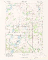
1961 Map of Sturgis
USGS Topo · Published 1962About this map
The borderlands of southern Michigan and northern Indiana define this landscape, anchored by the growing hub of Sturgis. In the early 1960s, the city's residential and commercial grid reflects mid-century expansion, supported by the New York Central railroad and proximity to the newly constructed Indiana Toll Road just across the state line. Educational and religious life are deeply detailed, showing neighborhood institutions like Holy Angels Sch, Congress St Sch, and the Lighthouse Ch near the banks of the Fawn River.
Find a feature on this map
54 named features on this map. Tap any name to fly to it.
Don’t see what you’re looking for? This feature index may not catch every label — zoom into the map to look around manually.
Map Details
Editions of this 1961 Sturgis Map
2 editions found
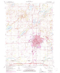
Other maps of this area

1914 · Three Rivers
USGS Topo · 1:62,500

1916 · Three Rivers
USGS Topo · 1:62,500

1943 · Three Rivers
USGS Topo · 1:62,500

1947 · Mongo
USGS Topo · 1:24,000

1947 · Lagrange
USGS Topo · 1:24,000

1953 · Fort Wayne
USGS Topo · 1:250,000

1956 · Fort Wayne
USGS Topo · 1:250,000
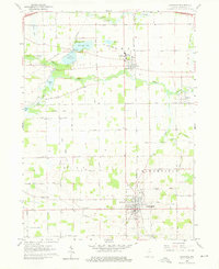
1960 · Lagrange
USGS Topo · 1:24,000
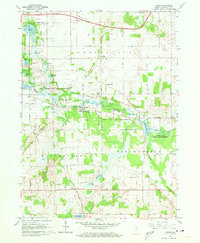
1960 · Mongo
USGS Topo · 1:24,000
1961 · Nottawa
USGS Topo · 1:24,000