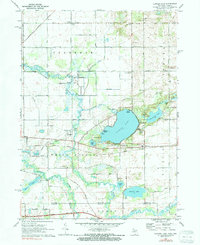
1972 Map of Klinger Lake
USGS Topo · Published 1991About this map
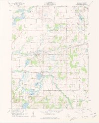
The glacial lakes and waterways of southern St. Joseph County define this 1970s landscape, centered on the recreational and residential hub of Klinger Lake. The shoreline is densely populated with several named summer colonies and landings, including Bluff Beach, Breezy Beach, and Sandy Beach, supported by the Klinger Lake Country Club. This settlement pattern reflects the mid-century growth of seasonal tourism and lakefront living near the Michigan-Indiana border.
Find a feature on this map
51 named features on this map. Tap any name to fly to it.
Don’t see what you’re looking for? This feature index may not catch every label — zoom into the map to look around manually.
Map Details
Editions of this 1972 Klinger Lake Map
2 editions found
Other maps of this area

1914 · Three Rivers
USGS Topo · 1:62,500

1916 · Three Rivers
USGS Topo · 1:62,500

1943 · Three Rivers
USGS Topo · 1:62,500

1947 · Lagrange
USGS Topo · 1:24,000

1953 · Fort Wayne
USGS Topo · 1:250,000

1956 · Fort Wayne
USGS Topo · 1:250,000
1960 · Lagrange
USGS Topo · 1:24,000
1961 · Sturgis
USGS Topo · 1:24,000
1961 · Nottawa
USGS Topo · 1:24,000
1961 · Shipshewana
USGS Topo · 1:24,000