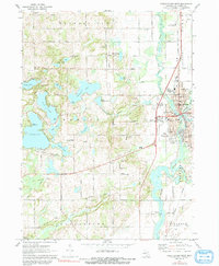
1972 Map of Three Rivers West
USGS Topo · Published 1991About this map
The confluence of the Rocky River, St Joseph River, and Portage River marks the industrial and social heart of Three Rivers during the early 1970s. This survey illustrates the town's dense layout, including civic landmarks like the Library, Hospital, and several local schools such as Hoppin Sch and Andrews Sch. The Penn Central rail line cuts through the landscape, linking the urban center to the surrounding agricultural and recreational lake country.
Find a feature on this map
65 named features on this map. Tap any name to fly to it.
Don’t see what you’re looking for? This feature index may not catch every label — zoom into the map to look around manually.
Map Details
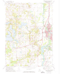
Editions of this 1972 Three Rivers West Map
2 editions found
Other maps of this area

1914 · Three Rivers
USGS Topo · 1:62,500

1916 · Three Rivers
USGS Topo · 1:62,500

1922 · Schoolcraft
USGS Topo · 1:62,500

1943 · Three Rivers
USGS Topo · 1:62,500

1943 · Schoolcraft
USGS Topo · 1:62,500

1944 · Marcellus
USGS Topo · 1:62,500

1946 · Marcellus
USGS Topo · 1:62,500

1948 · Vandalia
USGS Topo · 1:62,500

1949 · Vandalia
USGS Topo · 1:62,500

1953 · Fort Wayne
USGS Topo · 1:250,000