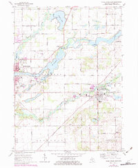
1972 Map of Three Rivers East
USGS Topo · Published 1982About this map
The confluence of the Portage River and St Joseph River anchors this study of St. Joseph County's interior. In the early 1970s, the landscape remained a mix of industrial river towns and sprawling agricultural tracts. The village of Centreville is a focal point, showing its organized grid between the Prairie River Cem and the local Fairground. To the west, the eastern edge of Three Rivers is visible, including the Riverside Cem and several schools like Barrows Sch and Huss Sch.
Find a feature on this map
46 named features on this map. Tap any name to fly to it.
Don’t see what you’re looking for? This feature index may not catch every label — zoom into the map to look around manually.
Map Details
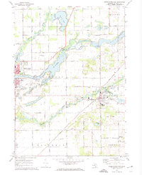
Editions of this 1972 Three Rivers East Map
2 editions found
Other maps of this area

1914 · Three Rivers
USGS Topo · 1:62,500

1916 · Three Rivers
USGS Topo · 1:62,500

1918 · Leonidas
USGS Topo · 1:62,500

1922 · Schoolcraft
USGS Topo · 1:62,500

1943 · Three Rivers
USGS Topo · 1:62,500

1943 · Schoolcraft
USGS Topo · 1:62,500

1944 · Leonidas
USGS Topo · 1:62,500

1947 · Leonidas
USGS Topo · 1:62,500

1950 · Leonidas
USGS Topo · 1:62,500

1953 · Fort Wayne
USGS Topo · 1:250,000