
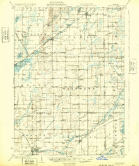
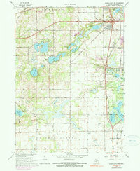
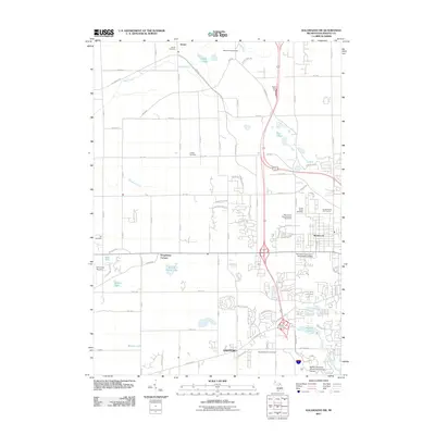
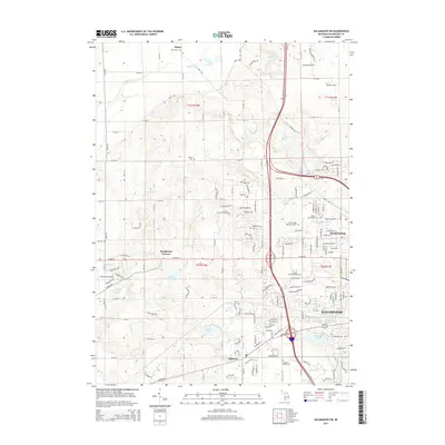
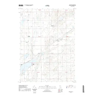
1947 Map of Leonidas
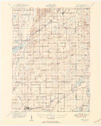
USGS Topo · Published 1976About this map
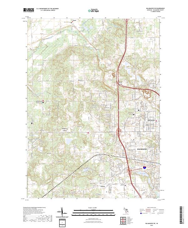
The St Joseph River and Portage River networks anchor this mid-century landscape where agricultural rural life and rail transport define the southern Michigan countryside. Small settlements like Leonidas and Mendon are mapped alongside a dense grid of country schools, including Bond Sch, Brown Sch, and Leggett Sch, reflecting the community structure before mid-century district consolidations. The Grand Trunk and Pennsylvania railroads provide critical transit links through the terrain, passing through Climax and Scotts.
Find a feature on this map
84 named features on this map. Tap any name to fly to it.
Don’t see what you’re looking for? This feature index may not catch every label — zoom into the map to look around manually.
Map Details
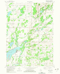
Editions of this 1947 Leonidas Map
This is the sole edition of this map. No revisions or reprints were ever made.
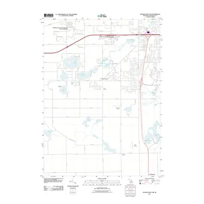
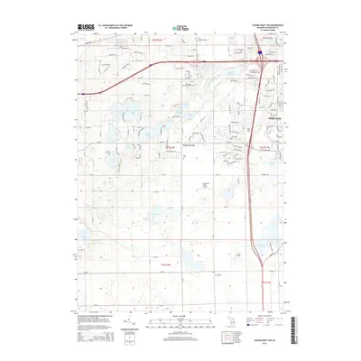
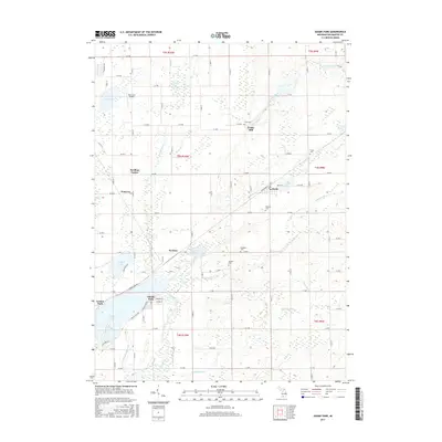
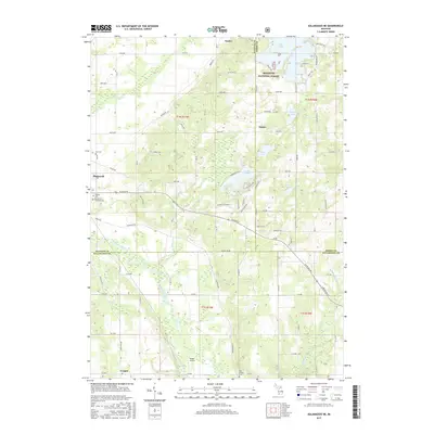
Historical Maps of Battle Creek Through Time
28 maps found
1918 Leonidas
Kalamazoo County, MI

1944 Leonidas
Kalamazoo County, MI
1947 Leonidas
Kalamazoo County, MI
1950 Leonidas
Kalamazoo County, MI
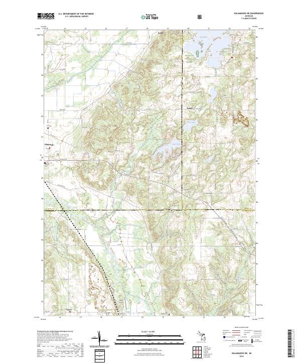
1967 Kalamazoo NE
Kalamazoo County, MI
1967 Kalamazoo SW
Kalamazoo County, MI
1967 Schoolcraft NW
Kalamazoo County, MI
1982 Adams Park
Kalamazoo County, MI
2011 Adams Park
Kalamazoo County, MI
2011 Kalamazoo NE
Kalamazoo County, MI
2011 Kalamazoo SW
Kalamazoo County, MI
2011 Schoolcraft NW
Kalamazoo County, MI
2014 Adams Park
Kalamazoo County, MI
2014 Kalamazoo NE
Kalamazoo County, MI
2014 Kalamazoo SW
Kalamazoo County, MI
2014 Schoolcraft NW
Kalamazoo County, MI
2017 Adams Park
Kalamazoo County, MI
2017 Kalamazoo NE
Kalamazoo County, MI
2017 Kalamazoo SW
Kalamazoo County, MI
2017 Schoolcraft NW
Kalamazoo County, MI
2019 Adams Park
Kalamazoo County, MI
2019 Kalamazoo NE
Kalamazoo County, MI
2019 Kalamazoo SW
Kalamazoo County, MI
2019 Schoolcraft NW
Kalamazoo County, MI
2023 Adams Park
Kalamazoo County, MI
2023 Kalamazoo NE
Kalamazoo County, MI
2023 Kalamazoo SW
Kalamazoo County, MI

2023 Schoolcraft NW
Kalamazoo County, MI
Featured Locations
- Battle Creek, MI
- Pavilion, Pavilion Township
- Climax, Climax Township
- Leonidas, Leonidas Township
- Mendon, Mendon Township