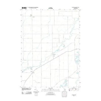
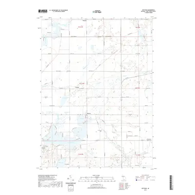
1961 Map of Nottawa
USGS Topo · Published 1982About this map
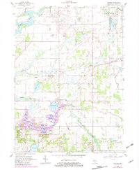
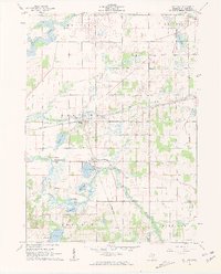
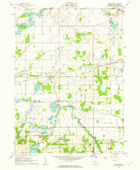
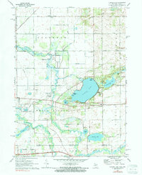
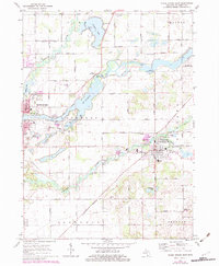
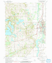
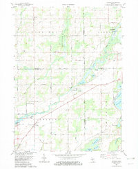
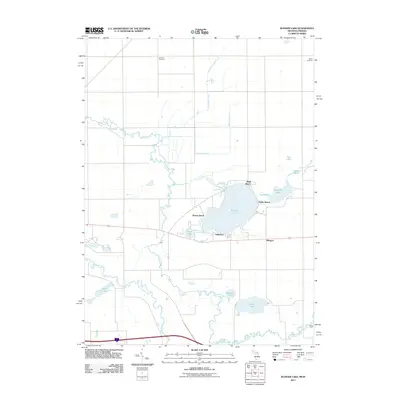
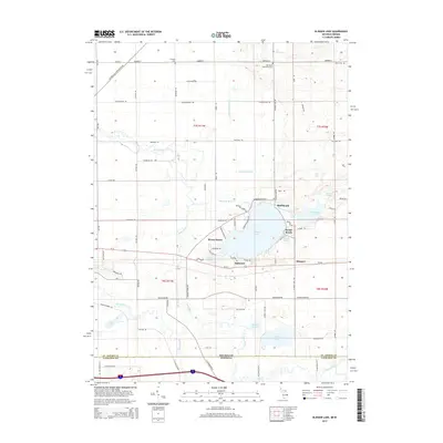
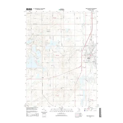
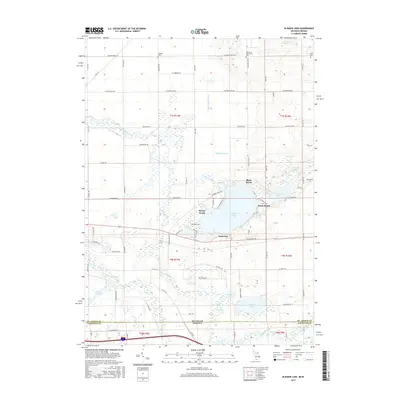
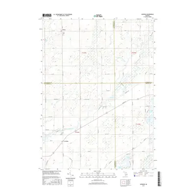
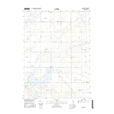
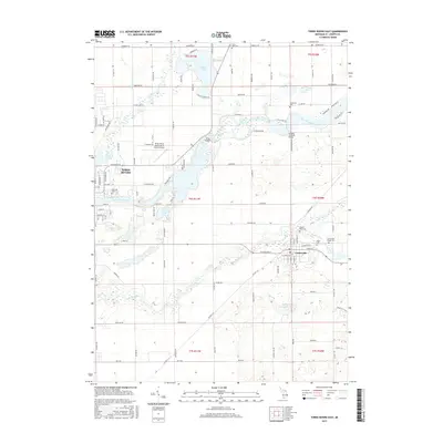
St Joseph River meanders through the northwest corner of this St. Joseph County landscape, anchoring a region defined by its diverse glacial water bodies and drainage systems. Revisions from 1981, shown in purple, highlight the emergence of Lake Templene, a significant reservoir that reshaped the southern portion of the quadrangle near the Prairie River. The junction at Wasepi serves as a historical point of interest where the Conrail rail lines intersect, reflecting the era's transportation network connecting the smaller settlements of Nottawa and Colon. Local community life is evidenced by well-distributed landmarks, from the Nottawa Community School to various rural burial grounds like Laird Cem and Pioneer Cem. The presence of numerous Gravel Pits and Marl Pits throughout the townships of Mendon and Leonidas points to the local extractive industries that supported regional road and farm development during the mid-20th century.
Find a feature on this map
33 named features on this map. Tap any name to fly to it.
Don’t see what you’re looking for? This feature index may not catch every label — zoom into the map to look around manually.
Map Details
Editions of this 1961 Nottawa Map
3 editions found
Historical Maps of Nottawa Through Time
30 maps found
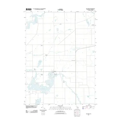
1961 Nottawa
St. Joseph County, MI
1972 Klinger Lake
St. Joseph County, MI
1972 Three Rivers East
St. Joseph County, MI
1972 Three Rivers West
St. Joseph County, MI
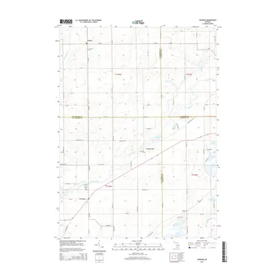
1982 Leonidas
St. Joseph County, MI
2011 Klinger Lake
St. Joseph County, MI
2011 Leonidas
St. Joseph County, MI
2011 Nottawa
St. Joseph County, MI
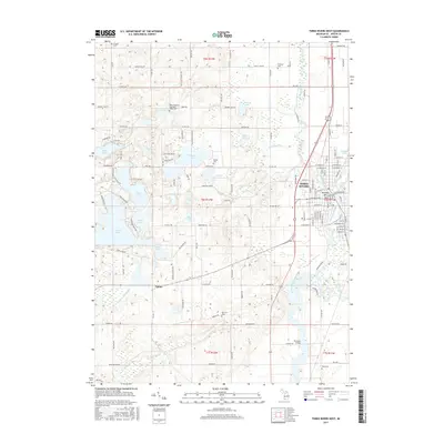
2011 Three Rivers East
St. Joseph County, MI
2011 Three Rivers West
St. Joseph County, MI
2014 Klinger Lake
St. Joseph County, MI
2014 Leonidas
St. Joseph County, MI
2014 Nottawa
St. Joseph County, MI
2014 Three Rivers East
St. Joseph County, MI
2014 Three Rivers West
St. Joseph County, MI
2017 Klinger Lake
St. Joseph County, MI
2017 Leonidas
St. Joseph County, MI
2017 Nottawa
St. Joseph County, MI
2017 Three Rivers East
St. Joseph County, MI
2017 Three Rivers West
St. Joseph County, MI
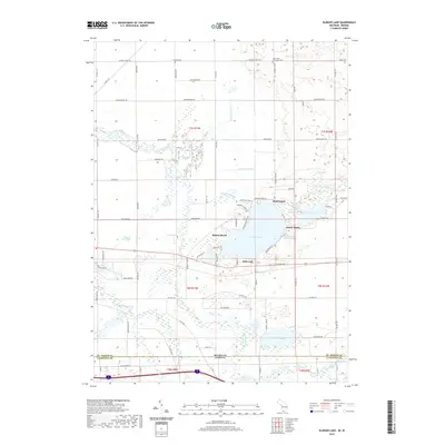
2019 Klinger Lake
St. Joseph County, MI
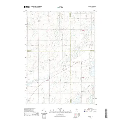
2019 Leonidas
St. Joseph County, MI
2019 Nottawa
St. Joseph County, MI
2019 Three Rivers East
St. Joseph County, MI
2019 Three Rivers West
St. Joseph County, MI
2023 Klinger Lake
St. Joseph County, MI
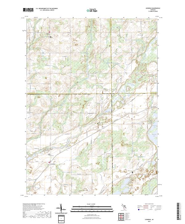
2023 Leonidas
St. Joseph County, MI
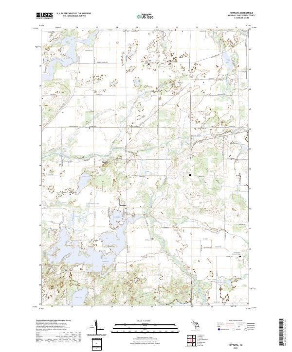
2023 Nottawa
St. Joseph County, MI
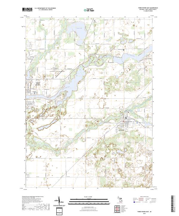
2023 Three Rivers East
St. Joseph County, MI
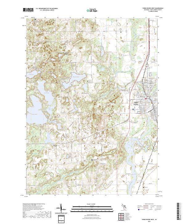
2023 Three Rivers West
St. Joseph County, MI
Featured Locations
- Mendon Township, MI
- Sherman Township, MI
- Burr Oak Township, MI
- Nottawa, Nottawa Township
- Mendon, Mendon Township