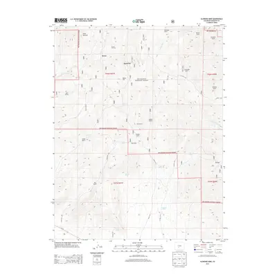
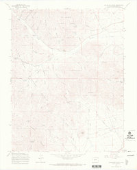
2013 Map of Klondike Mine
USGS Topo · Published 2013About this map
Klondike Mine serves as a central anchor for this rugged portion of the Rio Grande National Forest in Saguache County. The map details an area defined by steep drainage patterns and high mountain terrain, where historic prospecting and high-altitude ranching have left their mark. Notable nodes of human activity include the settlement of Bonita and the evocative Spook City, alongside seasonal markers like Woodard Cow Camp.
Find a feature on this map
40 named features on this map. Tap any name to fly to it.
Don’t see what you’re looking for? This feature index may not catch every label — zoom into the map to look around manually.
Map Details
Editions of this 2013 Klondike Mine Map
This is the sole edition of this map. No revisions or reprints were ever made.
Other maps of this area

1956 · Montrose
USGS Topo · 1:250,000

1959 · Montrose
USGS Topo · 1:250,000

1959 · Bonanza
USGS Topo · 1:62,500

1960 · Montrose
USGS Topo · 1:250,000
1967 · Laughlin Gulch
USGS Topo · 1:24,000

1967 · Lake Mountain NE
USGS Topo · 1:24,000

1967 · Chester
USGS Topo · 1:24,000
1967 · Klondike Mine
USGS Topo · 1:24,000
1967 · Hickey Bridge
USGS Topo · 1:24,000
1967 · Graveyard Gulch
USGS Topo · 1:24,000