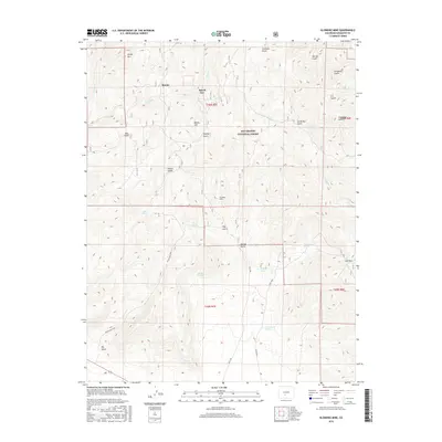
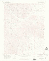
2016 Map of Klondike Mine
USGS Topo · Published 2016About this map
The high-elevation mining country of Saguache County is documented here during the early 21st century, focusing on a landscape defined by steep drainages and mineral history. The Klondike Mine serves as a central landmark within the Rio Grande National Forest, situated south of the small settlements of Bonita and Spook City. This area is characterized by a dense network of water sources and named ravines, including Findley Spring, Alkali Spring, and Bachietti Spring, which feed into major drainages like Little Kerber Cr.
Find a feature on this map
36 named features on this map. Tap any name to fly to it.
Don’t see what you’re looking for? This feature index may not catch every label — zoom into the map to look around manually.
Map Details
Editions of this 2016 Klondike Mine Map
This is the sole edition of this map. No revisions or reprints were ever made.
Other maps of this area

1956 · Montrose
USGS Topo · 1:250,000

1959 · Montrose
USGS Topo · 1:250,000

1959 · Bonanza
USGS Topo · 1:62,500

1960 · Montrose
USGS Topo · 1:250,000
1967 · Laughlin Gulch
USGS Topo · 1:24,000

1967 · Lake Mountain NE
USGS Topo · 1:24,000

1967 · Chester
USGS Topo · 1:24,000
1967 · Klondike Mine
USGS Topo · 1:24,000
1967 · Hickey Bridge
USGS Topo · 1:24,000
1967 · Graveyard Gulch
USGS Topo · 1:24,000