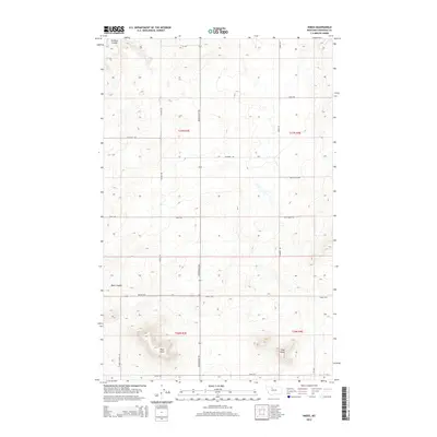
2014 Map of Knees
USGS Topo · Published 2014About this map
West Knee and East Knee anchor the southern portion of this landscape in Chouteau County, where the high plains of north-central Montana are carved by distinctive drainage patterns. The map highlights a network of local thoroughfares that follow section lines and natural contours, including the evocatively named Bootlegger Trl and Hells Gulch Rd. This area is defined by the transition from flat upland benches to the deeper incisions of Pondera Coulee in the northwest and Basin Coulee further south.
Find a feature on this map
22 named features on this map. Tap any name to fly to it.
Don’t see what you’re looking for? This feature index may not catch every label — zoom into the map to look around manually.
Map Details
Editions of this 2014 Knees Map
This is the sole edition of this map. No revisions or reprints were ever made.
Other maps of this area

1886 · Great Falls
USGS Topo · 1:250,000

1949 · Timber Coulee
USGS Topo · 1:62,500

1950 · Timber Coulee
USGS Topo · 1:62,500

1950 · Dent Bridge
USGS Topo · 1:62,500

1954 · Great Falls
USGS Topo · 1:250,000

1954 · Shelby
USGS Topo · 1:250,000

1957 · Great Falls
USGS Topo · 1:250,000

1958 · Shelby
USGS Topo · 1:250,000

1970 · Carlson Coulee
USGS Topo · 1:24,000

1970 · Knees NE
USGS Topo · 1:24,000