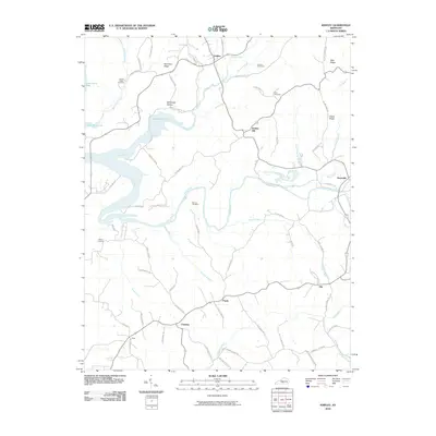
2010 Map of Knifley
USGS Topo · Published 2010About this map
Green River Lake dominates the western landscape of this Adair County region, where the reservoir waters back into the winding valleys of White Oak Creek and Casey Creek. The settlement of Knifley sits at the northern edge, serving as a hub for a network of rural roads such as Tucker Warren Rd and Union Church Rd that navigate the local topography. The area is marked by numerous family and community landmarks, including the Parker Chapel Cemetery and Absher Cemetery, which provide essential touchpoints for genealogical research in this part of Kentucky.
Find a feature on this map
66 named features on this map. Tap any name to fly to it.
Don’t see what you’re looking for? This feature index may not catch every label — zoom into the map to look around manually.
Map Details
Editions of this 2010 Knifley Map
This is the sole edition of this map. No revisions or reprints were ever made.
Other maps of this area

1952 · Clementsville
USGS Topo · 1:24,000

1952 · Mannsville
USGS Topo · 1:24,000

1953 · Campbellsville
USGS Topo · 1:24,000

1953 · Montpelier
USGS Topo · 1:24,000

1953 · Dunnville
USGS Topo · 1:24,000

1953 · Cane Valley
USGS Topo · 1:24,000

1954 · Knifley
USGS Topo · 1:24,000

1954 · Columbia
USGS Topo · 1:24,000

1954 · Russell Springs
USGS Topo · 1:24,000

1957 · Winchester
USGS Topo · 1:250,000