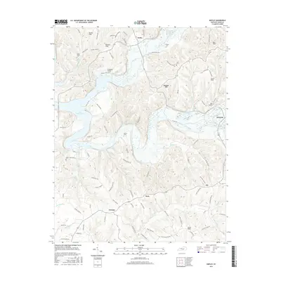
2016 Map of Knifley
USGS Topo · Published 2016About this map
Green River Lake dominates the western landscape of this Adair County region, its winding shoreline and inlets creating a complex topography of ridges and hollows. The settlement of Knifley sits at a central crossroads north of the lake, while the village of Neatsville anchors the eastern edge along the Green River. The map reveals a dense network of family-named landmarks and rural infrastructure, including Parker Chapel Cem and Dunbar Hill.
Find a feature on this map
90 named features on this map. Tap any name to fly to it.
Don’t see what you’re looking for? This feature index may not catch every label — zoom into the map to look around manually.
Map Details
Editions of this 2016 Knifley Map
This is the sole edition of this map. No revisions or reprints were ever made.
Other maps of this area

1952 · Clementsville
USGS Topo · 1:24,000

1952 · Mannsville
USGS Topo · 1:24,000

1953 · Campbellsville
USGS Topo · 1:24,000

1953 · Montpelier
USGS Topo · 1:24,000

1953 · Dunnville
USGS Topo · 1:24,000

1953 · Cane Valley
USGS Topo · 1:24,000

1954 · Knifley
USGS Topo · 1:24,000

1954 · Columbia
USGS Topo · 1:24,000

1954 · Russell Springs
USGS Topo · 1:24,000

1957 · Winchester
USGS Topo · 1:250,000