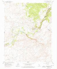
1962 Map of Knights Ferry
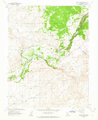
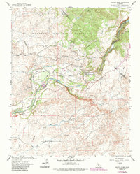
USGS Topo · Published 1978About this map
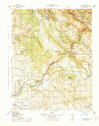
The Stanislaus River carves through this landscape at Knights Ferry, a historic river crossing where the terrain shifts from the high, flat top of Table Mountain to the irrigated valley floors. The map details a complex water management system essential to the region's agricultural transition, featuring the Hetch Hetchy Aqueduct, the Main Canal, and infrastructure like Littlejohns Dam and Cashman Dam. Traces of the region's early industrial and land-grant history are evident in the sprawling Rancheria Del Rio Estanislao boundary and the presence of the Sierra Railroad near the southern edge. Small-scale mining operations like Smith Mine and scattered Tailings reflect the lingering impact of the gold era on the foothills. Local family names and landmarks such as Lovers Leap and Martells provide specific points of interest for genealogical research in this tri-county border area.
Find a feature on this map
43 named features on this map. Tap any name to fly to it.
Don’t see what you’re looking for? This feature index may not catch every label — zoom into the map to look around manually.
Map Details
Editions of this 1962 Knights Ferry Map
3 editions found
Other maps of this area
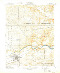
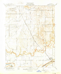
1915 · Oakdale
USGS Topo · 1:31,680

1915 · Paulsell
USGS Topo · 1:31,680

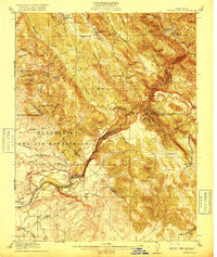
1916 · Cooperstown
USGS Topo · 1:31,680
1916 · Waterford
USGS Topo · 1:31,680

1916 · Bachelor Valley
USGS Topo · 1:31,680
1916 · Copperopolis
USGS Topo · 1:62,500

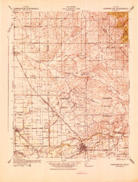
1939 · Modesto East
USGS Topo · 1:62,500
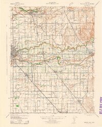
1942 · Farmington
USGS Topo · 1:62,500
1942 · Modesto East
USGS Topo · 1:62,500
1942 · Copperopolis
USGS Topo · 1:62,500