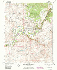
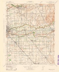
1962 Map of Knights Ferry
USGS Topo · Published 1987About this map
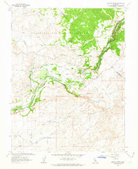
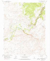
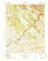
Knights Ferry serves as the focal point of this landscape where the Stanislaus River emerges from the foothills into the eastern Central Valley. The map documents a sophisticated water management network essential to California's development, featuring the Hetch Hetchy Aqueduct, the South Main Canal, and Cashman Dam. This engineering infrastructure sits alongside older traces of industry, such as the Smith Mine on the slopes of Table Mountain and several Gravel Pits along the riverbanks.
Find a feature on this map
53 named features on this map. Tap any name to fly to it.
Don’t see what you’re looking for? This feature index may not catch every label — zoom into the map to look around manually.
Map Details
Editions of this 1962 Knights Ferry Map
3 editions found
Other maps of this area
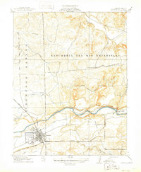
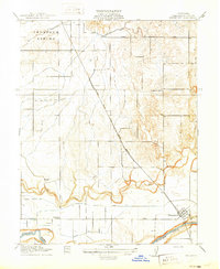
1915 · Oakdale
USGS Topo · 1:31,680

1915 · Paulsell
USGS Topo · 1:31,680

1916 · Cooperstown
USGS Topo · 1:31,680
1916 · Waterford
USGS Topo · 1:31,680

1916 · Bachelor Valley
USGS Topo · 1:31,680
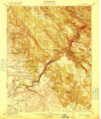
1916 · Copperopolis
USGS Topo · 1:62,500

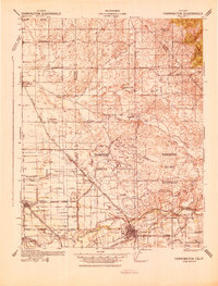
1939 · Modesto East
USGS Topo · 1:62,500
1942 · Farmington
USGS Topo · 1:62,500
1942 · Modesto East
USGS Topo · 1:62,500
1942 · Copperopolis
USGS Topo · 1:62,500