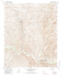
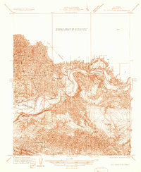
1965 Map of Knob Hill
USGS Topo · Published 1985About this map
Mt Poso Oil Field dominates this central California landscape, revealing an industrial footprint defined by pipelines, oil sumps, and gaging stations. The terrain is deeply incised by a series of drainages, including Granite Canyon, Adobe Canyon, and Borel Canyon, which flow toward the perennial course of Poso Creek. Significant landmarks like the Halfway House and the summit of Knob Hill provide navigational anchors in an area where the petroleum economy and topography intersect. To the south, the Round Mtn Oil Field extends into the territory near Coffee Canyon, illustrating the extensive reach of mid-century energy extraction. Geologic and geographic transitions are marked by features such as Chalk Cliff and Mon Bluff, while the presence of scattered water tanks and wells underscores the infrastructure required to sustain operations in this arid environment.
Find a feature on this map
25 named features on this map. Tap any name to fly to it.
Don’t see what you’re looking for? This feature index may not catch every label — zoom into the map to look around manually.
Map Details
Editions of this 1965 Knob Hill Map
4 editions found
Other maps of this area

1906 · Bakersfield
USGS Topo · 1:62,500

1910 · Buena Vista Lake
USGS Topo · 1:125,000

1912 · Buena Vista Lake
USGS Topo · 1:125,000

1914 · Caliente
USGS Topo · 1:125,000

1930 · Oildale
USGS Topo · 1:31,680

1931 · Deepwell Ranch
USGS Topo · 1:31,680

1932 · North of Oildale
USGS Topo · 1:31,680

1932 · Woody
USGS Topo · 1:62,500
1933 · Oil Center
USGS Topo · 1:31,680

1935 · Woody
USGS Topo · 1:62,500