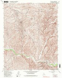
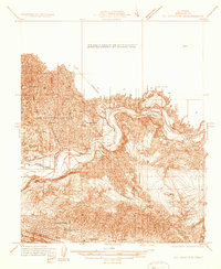
1965 Map of Knob Hill
USGS Topo · Published 1985About this map
Round Mtn Oil Field dominates the southern landscape of this 1960s survey, marking a period when industrial resource extraction and complex water management shaped the Kern County foothills. The land is defined by a dense network of drainages including Sycamore Canyon, Borel Canyon, and Adobe Canyon, all feeding toward the primary artery of Poso Creek. Human activity is concentrated along infrastructure corridors like Granite Road and Pipeline Road, where the isolated Halfway House stands as a notable landmark for those navigating the winding terrain.
Find a feature on this map
25 named features on this map. Tap any name to fly to it.
Don’t see what you’re looking for? This feature index may not catch every label — zoom into the map to look around manually.
Map Details
Editions of this 1965 Knob Hill Map
4 editions found
Other maps of this area

1906 · Bakersfield
USGS Topo · 1:62,500

1910 · Buena Vista Lake
USGS Topo · 1:125,000

1912 · Buena Vista Lake
USGS Topo · 1:125,000

1914 · Caliente
USGS Topo · 1:125,000

1930 · Oildale
USGS Topo · 1:31,680

1931 · Deepwell Ranch
USGS Topo · 1:31,680

1932 · North of Oildale
USGS Topo · 1:31,680

1932 · Woody
USGS Topo · 1:62,500
1933 · Oil Center
USGS Topo · 1:31,680

1935 · Woody
USGS Topo · 1:62,500