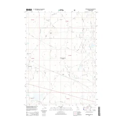
2015 Map of Knobcone Butte
USGS Topo · Published 2015About this map
Hackamore serves as a primary geographic reference point within the Modoc National Forest, a region defined by a sophisticated network of water management features. The landscape is dotted with specialized infrastructure like the Wart on Tree Tank and Sorholus Tank, alongside larger water bodies such as Spaulding Reservoir, Beeler Reservoir, and Hackamore Reservoir. These features, many bearing family or descriptive names, underscore the critical importance of water resources for ranching and forest management in this part of California.
Find a feature on this map
27 named features on this map. Tap any name to fly to it.
Don’t see what you’re looking for? This feature index may not catch every label — zoom into the map to look around manually.
Map Details
Editions of this 2015 Knobcone Butte Map
This is the sole edition of this map. No revisions or reprints were ever made.
Other maps of this area

1886 · Alturas
USGS Topo · 1:250,000

1886 · Modoc Lava Bed
USGS Topo · 1:250,000

1892 · Modoc Lava-Bed
USGS Topo · 1:250,000

1892 · Alturas
USGS Topo · 1:250,000

1952 · Hackamore
USGS Topo · 1:62,500

1954 · Alturas
USGS Topo · 1:250,000

1958 · Alturas
USGS Topo · 1:250,000

1961 · Canby
USGS Topo · 1:62,500

1962 · Alturas
USGS Topo · 1:250,000

1962 · Crank Mountain
USGS Topo · 1:62,500