2024 Map of Knobel
USGS Topo · Published 2024About this map
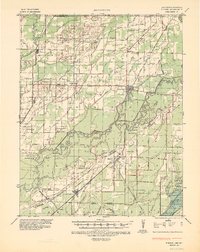
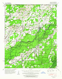
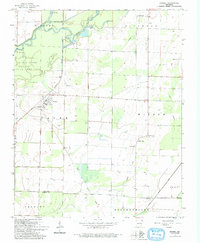
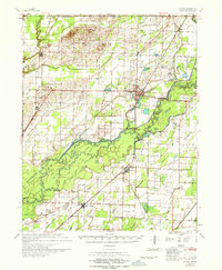
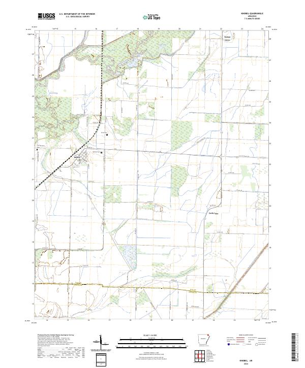
Knobel stands at the heart of this Arkansas landscape, where a grid of local roads meets the winding path of the Black River. The settlement pattern here is defined by its proximity to the low-lying wetlands and the drainage network typical of the Mississippi Embayment, including Gum Slough and East Slough. This region maintains its agricultural character across the boundary between Clay County and Greene County, with small family landmarks preserved throughout the terrain. Genealogists and local historians can locate several burial sites, such as Saint Bernard Cem, Bond Cem, and Gilchrist Cem, which serve as quiet markers of the community's heritage. The map also traces the engineered water management of the area, notably the Cache River Ditch Number 1, which cuts a straight path through the eastern sections to manage the heavy hydrology of the Cache Lake vicinity.
Find a feature on this map
55 named features on this map. Tap any name to fly to it.
Don’t see what you’re looking for? This feature index may not catch every label — zoom into the map to look around manually.
Map Details
Editions of this 2024 Knobel Map
This is the sole edition of this map. No revisions or reprints were ever made.
Historical Maps of Knobel Through Time
5 maps found