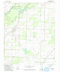
1964 Map of Knobel
USGS Topo · Published 1993About this map
The Missouri Pacific railroad corridor anchors the small settlement of Knobel in this mid-century survey of the Northeast Arkansas lowlands. The landscape is defined by its complex hydrology, where the Black River meanders through the Black River State Game Area and the Cache River flows south across the Clay Co Greene Co line. Near the western edge, the distinct rise of Crowley Ridge provides a geological contrast to the surrounding drainage networks of Kramer Ditch and East Slough. This map is particularly valuable for genealogists, as it preserves the locations of local landmarks like Bond Cem and St Bernard Cem, alongside rural congregations at Walnut Grove Ch and Cache Lake Ch. The inclusion of an Old Railroad Grade running southeast from Knobel reveals the shifting transportation infrastructure that once served these timber and farming communities.
Find a feature on this map
24 named features on this map. Tap any name to fly to it.
Don’t see what you’re looking for? This feature index may not catch every label — zoom into the map to look around manually.
Map Details
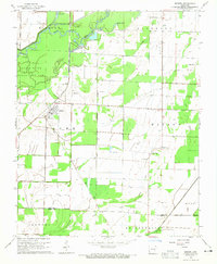
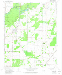
Editions of this 1964 Knobel Map
3 editions found
Other maps of this area

1935 · Rector
USGS Topo · 1:62,500

1935 · Knobel
USGS Topo · 1:62,500

1940 · Gainesville
USGS Topo · 1:62,500

1940 · Marmaduke
USGS Topo · 1:62,500

1941 · Knobel
USGS Topo · 1:62,500

1957 · Poplar Bluff
USGS Topo · 1:250,000

1958 · Marmaduke
USGS Topo · 1:62,500

1958 · Gainesville
USGS Topo · 1:62,500

1958 · Rector
USGS Topo · 1:62,500

1959 · Poplar Bluff
USGS Topo · 1:250,000