Loading...
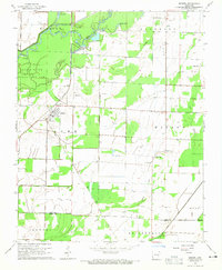
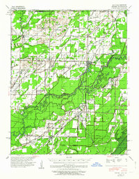
Loading map...1964 Map of Knobel
USGS Topo · Published 1965About this map
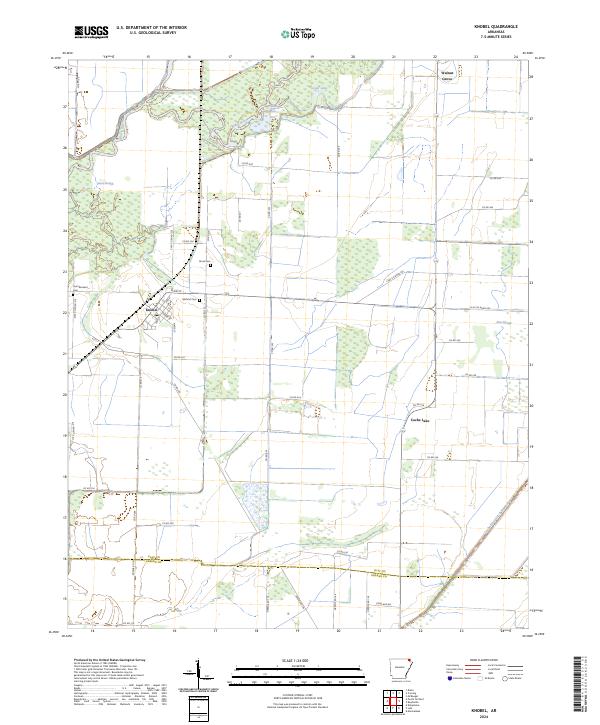
Knobel serves as the central hub of this mid-1960s survey, situated where the Missouri Pacific rail line cuts through the northeast Arkansas landscape. The town is flanked by a significant water system, including the meandering Black River to the west and the Cache River to the southeast. The area's agricultural and conservation character is evident through the Black River State Game Area and the extensive network of drainage features like Kramer Ditch.
Find a feature on this map
26 named features on this map. Tap any name to fly to it.
Don’t see what you’re looking for? This feature index may not catch every label — zoom into the map to look around manually.
Map Details
Date Portrayed1964
Date Published1965
PublisherU.S. Geological Survey
Map TypeTopographic
Scale1:24,000
Physical Dimensions22 x 26.8 inches
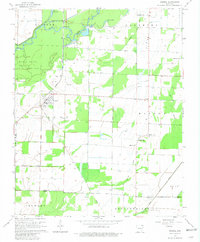
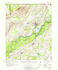
Editions of this 1964 Knobel Map
3 editions found
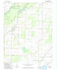
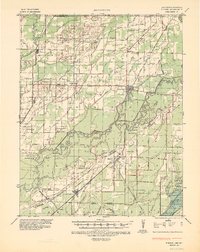
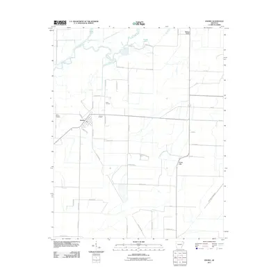
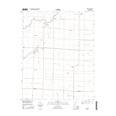
Historical Maps of Knobel Through Time
9 maps found
Featured Locations
Source Details
SourceU.S. Geological Survey
CopyrightPublic Domain