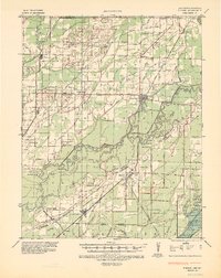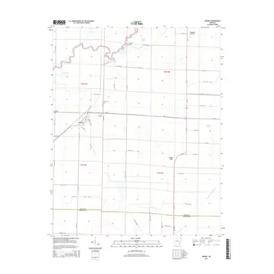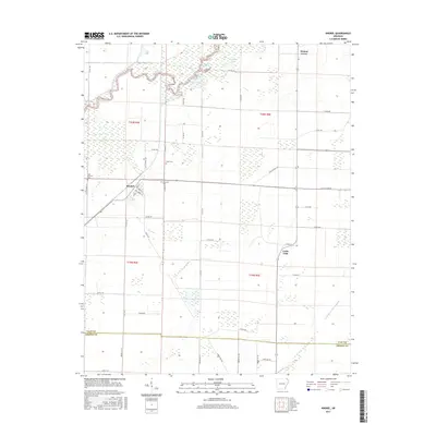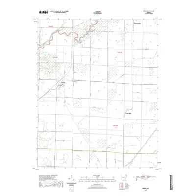
1967 Map of Knobel
USGS Topo · Published 1967About this map
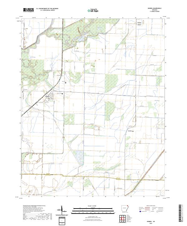
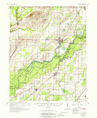
Black River meanders through the heart of this Northeast Arkansas landscape, defining a region of intricate drainage and low-lying wetlands. The 1960s terrain is heavily engineered with an extensive network of ditches and laterals, such as Cypress Ditch and Byrnes Lateral, which transformed the natural floodplains for agricultural and settlement use. The map reveals the critical role of the Missouri Pacific Railroad in connecting towns like Corning, Knobel, and Peach Orchard. Within the river's loops, the Game Island Area preserves a pocket of the native riverine environment amidst the surrounding development. Cultural landmarks like the Drive-in Theater near Corning and the U S Fish Hatchery reflect the mid-century infrastructure and social life of the county. Genealogists will find a wealth of family history data in rural cemeteries such as Allmandinger Cem and local churches like Browns Chapel.
Find a feature on this map
64 named features on this map. Tap any name to fly to it.
Don’t see what you’re looking for? This feature index may not catch every label — zoom into the map to look around manually.
Map Details
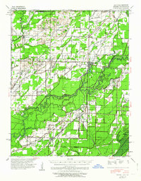
Editions of this 1967 Knobel Map
This is the sole edition of this map. No revisions or reprints were ever made.
Historical Maps of Corning Through Time
9 maps found