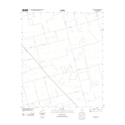
2012 Map of Knott NE
USGS Topo · Published 2012About this map
The agrarian landscape of Howard County is defined by a rigid grid of county roads and vital state corridors in this early twenty-first-century survey. Ranch Road 846 bisects the region diagonally, serving as a primary artery for local travel alongside Ranch Road 1584. The network of secondary routes, including the curiously named All Red Rd and Brown Rd, reflects a pattern of large-scale land divisions and ranching tracts typical of the West Texas plains. Scattered depressions and ephemeral water features dot the terrain, which is otherwise dominated by the geometric precision of the N Co Rd 19 and W C r 54 corridors. This documentation by the U.S. Geological Survey captures the contemporary infrastructure of a rural district where the traditional road names like N C r 15 persist amidst modern digital mapping.
Find a feature on this map
27 named features on this map. Tap any name to fly to it.
Don’t see what you’re looking for? This feature index may not catch every label — zoom into the map to look around manually.
Map Details
Editions of this 2012 Knott NE Map
This is the sole edition of this map. No revisions or reprints were ever made.
Other maps of this area

1942 · Big Spring North
USGS Topo · 1:62,500

1954 · Big Spring
USGS Topo · 1:250,000

1954 · Big Spring North
USGS Topo · 1:24,000

1958 · Big Spring
USGS Topo · 1:250,000

1965 · Big Spring North
USGS Topo · 1:24,000

1966 · Knott
USGS Topo · 1:24,000

1966 · Knott SE
USGS Topo · 1:24,000

1966 · Knott SW
USGS Topo · 1:24,000

1966 · Knott NE
USGS Topo · 1:24,000

1970 · Vealmoor
USGS Topo · 1:24,000