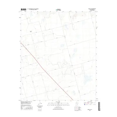
2016 Map of Knott NE
USGS Topo · Published 2016About this map
Buzzard Draw cuts through this portion of Howard County, defining the drainage patterns of a landscape marked by a strict grid of rural infrastructure. The terrain is characterized by broad, subtle elevation changes and numerous intermittent wetland pockets that dot the plains between the established transit lines. This mid-2010s survey reveals a high density of named county and ranch roads, such as Ranch Rd 1584 and W Fm 846, which facilitate movement through this agricultural and ranching district. While no major towns occupy this specific quadrangle, the systematic numbering of routes like N Co Rd 25 and Brown Rd provides a precise framework for locating specific parcels and historical homestead sites in the Texas Panhandle region.
Find a feature on this map
24 named features on this map. Tap any name to fly to it.
Don’t see what you’re looking for? This feature index may not catch every label — zoom into the map to look around manually.
Map Details
Editions of this 2016 Knott NE Map
This is the sole edition of this map. No revisions or reprints were ever made.
Other maps of this area

1942 · Big Spring North
USGS Topo · 1:62,500

1954 · Big Spring
USGS Topo · 1:250,000

1954 · Big Spring North
USGS Topo · 1:24,000

1958 · Big Spring
USGS Topo · 1:250,000

1965 · Big Spring North
USGS Topo · 1:24,000

1966 · Knott
USGS Topo · 1:24,000

1966 · Knott SE
USGS Topo · 1:24,000

1966 · Knott SW
USGS Topo · 1:24,000

1966 · Knott NE
USGS Topo · 1:24,000

1970 · Vealmoor
USGS Topo · 1:24,000