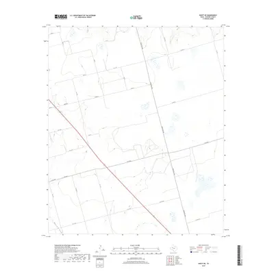
2019 Map of Knott NE
USGS Topo · Published 2019About this map
Buzzard Draw winds through the southwestern corner of this Howard County landscape, representing one of the few named topographical features in an area defined by its expansive agricultural and ranching grid. Surveyed in 2019, the map reveals a systematic network of rural infrastructure, where Ranch Rd 1584 and 87 serve as the primary north-south arteries. The intersection of these routes with east-west roads like W Fm 846 and Brown Rd creates a geometric pattern of property lines and access ways characteristic of the West Texas plains. Small clusters of structures and localized water features appear scattered across the terrain, connected by a dense web of county roads including N Co Rd 17 and W C R 38. This layout provides a clear view of modern land management and transportation in a region where water drainage patterns like those near E Co Rd 52 still influence the local geography.
Find a feature on this map
24 named features on this map. Tap any name to fly to it.
Don’t see what you’re looking for? This feature index may not catch every label — zoom into the map to look around manually.
Map Details
Editions of this 2019 Knott NE Map
This is the sole edition of this map. No revisions or reprints were ever made.
Other maps of this area

1942 · Big Spring North
USGS Topo · 1:62,500

1954 · Big Spring
USGS Topo · 1:250,000

1954 · Big Spring North
USGS Topo · 1:24,000

1958 · Big Spring
USGS Topo · 1:250,000

1965 · Big Spring North
USGS Topo · 1:24,000

1966 · Knott
USGS Topo · 1:24,000

1966 · Knott SE
USGS Topo · 1:24,000

1966 · Knott SW
USGS Topo · 1:24,000

1966 · Knott NE
USGS Topo · 1:24,000

1970 · Vealmoor
USGS Topo · 1:24,000