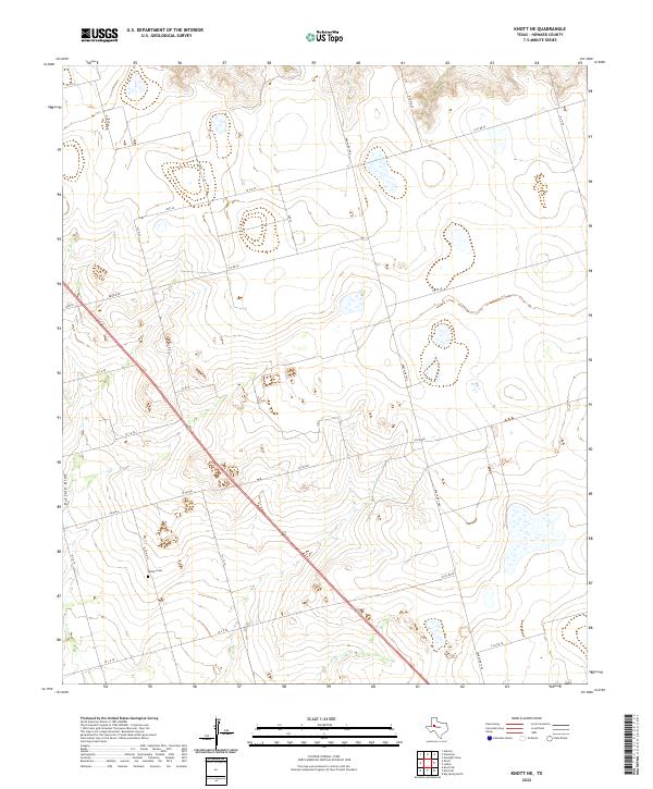
2022 Map of Knott NE
USGS Topo · Published 2022About this map
Phillips Cem sits in the western reaches of this High Plains landscape, a quiet landmark amidst the geometric grid of county roads and ranching tracks in Howard County. The terrain is defined by the subtle drainage of Buzzard Draw, which snakes through the western portion of the quadrangle. While the map is dominated by open ranch land and a meticulous network of rural thoroughfares such as Ranch Rd 1584 and W Fm 846, the presence of localized family or community markers like the cemetery offers a primary point of interest for genealogists and local historians. This 2022 survey documents the contemporary arrangement of large land parcels and the persistent infrastructure that connects this part of the Texas interior, from Brown Rd in the northwest to the southeastern intersection of E Co RD 38.
Find a feature on this map
24 named features on this map. Tap any name to fly to it.
Don’t see what you’re looking for? This feature index may not catch every label — zoom into the map to look around manually.
Map Details
Editions of this 2022 Knott NE Map
This is the sole edition of this map. No revisions or reprints were ever made.
Other maps of this area

1942 · Big Spring North
USGS Topo · 1:62,500

1954 · Big Spring
USGS Topo · 1:250,000

1954 · Big Spring North
USGS Topo · 1:24,000

1958 · Big Spring
USGS Topo · 1:250,000

1965 · Big Spring North
USGS Topo · 1:24,000

1966 · Knott
USGS Topo · 1:24,000

1966 · Knott SE
USGS Topo · 1:24,000

1966 · Knott SW
USGS Topo · 1:24,000

1966 · Knott NE
USGS Topo · 1:24,000

1970 · Vealmoor
USGS Topo · 1:24,000