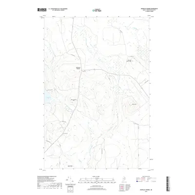
2018 Map of Knowles Corner
USGS Topo · Published 2018About this map
Knowles Corner stands as a focal point in this Aroostook County landscape, where the headwaters of the W Br Mattawamkeag River carve through a terrain defined by high ridges and valley bottomlands. The map reveals a remote network of woods roads and watercourses, including E Hastings Brook which features both Upper Falls and Lower Falls as it descends toward the river. To the south, the small settlement of Batesville rests near Mill Brook, marking a rare concentration of activity in a region largely dominated by timberland and drainage basins.
Find a feature on this map
28 named features on this map. Tap any name to fly to it.
Don’t see what you’re looking for? This feature index may not catch every label — zoom into the map to look around manually.
Map Details
Editions of this 2018 Knowles Corner Map
This is the sole edition of this map. No revisions or reprints were ever made.
Other maps of this area

1935 · Howe Brook
USGS Topo · 1:48,000

1937 · Smyrna Mills
USGS Topo · 1:62,500

1939 · Howe Brook
USGS Topo · 1:62,500

1940 · Island Falls
USGS Topo · 1:62,500

1940 · Oxbow
USGS Topo · 1:62,500

1942 · Island Falls
USGS Topo · 1:62,500

1942 · Oxbow
USGS Topo · 1:62,500

1954 · Howe Brook
USGS Topo · 1:62,500

1954 · Presque Isle
USGS Topo · 1:250,000

1955 · Smyrna Mills
USGS Topo · 1:62,500