
1955 Map of Smyrna Mills
USGS Topo · Published 1956About this map
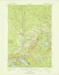
Bangor and Aroostook Railroad operations anchor the local economy of this southern Aroostook County landscape, connecting the agricultural and timber hubs of Smyrna Mills and Oakfield. The rail line threads between prominent peaks like Timoney Mountain and Sam Drew Mountain, following the natural drainage towards Mattawamkeag Lake and Upper Mattawamkeag Lake. The settlement pattern reveals a cluster of small rural schools, including Lincoln Sch, Roosevelt Sch, and Longfellow Sch, which served the dispersed farming communities along Settlement Road and Colbroth Road. This survey documents a transition period where traditional land use, marked by features like Emerson Siding and Walker Settlement, met the growing importance of the area's water resources, from the expansive Meduxnekeag Lake to the secluded Thousand Acre Swamp.
Find a feature on this map
117 named features on this map. Tap any name to fly to it.
Don’t see what you’re looking for? This feature index may not catch every label — zoom into the map to look around manually.
Map Details
Editions of this 1955 Smyrna Mills Map
4 editions found
Other maps of this area

1934 · Bridgewater
USGS Topo · 1:48,000

1935 · Howe Brook
USGS Topo · 1:48,000

1937 · Smyrna Mills
USGS Topo · 1:62,500

1938 · Bridgewater
USGS Topo · 1:62,500

1938 · Houlton
USGS Topo · 1:62,500

1939 · Howe Brook
USGS Topo · 1:62,500

1940 · Amity
USGS Topo · 1:62,500

1940 · Island Falls
USGS Topo · 1:62,500

1940 · Sherman
USGS Topo · 1:62,500

1940 · Oxbow
USGS Topo · 1:62,500