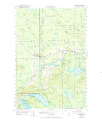
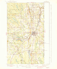
1955 Map of Smyrna Mills
USGS Topo · Published 1973About this map
The Bangor and Aroostook railroad corridor dictates the settlement pattern of this Aroostook County landscape, connecting the industrial nodes of Smyrna Mills and Oakfield. These villages serve as anchors for a timber and agricultural interior, where family-named landmarks like Walker Settlement and Hillman suggest deep-rooted local heritage. The terrain transitions from the wetland expanses of Thousand Acre Swamp and Dudley Swamp to prominent heights including Timoney Mountain and Sam Drew Mountain. Evidence of early 20th-century rural infrastructure is pervasive, from the one-room schoolhouses of Lincoln Sch and Roosevelt Sch to the water-powered legacy of Huntley Mill Pd. Numerous small water bodies, such as Brandy Pond and Read Lake, are interspersed among ridges like Number 7 Ridge, illustrating the complex glacial geography of northern Maine during the mid-century era.
Find a feature on this map
130 named features on this map. Tap any name to fly to it.
Don’t see what you’re looking for? This feature index may not catch every label — zoom into the map to look around manually.
Map Details
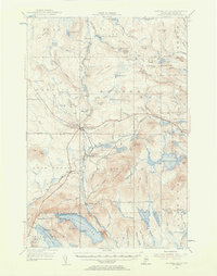
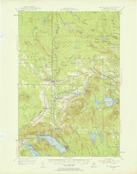
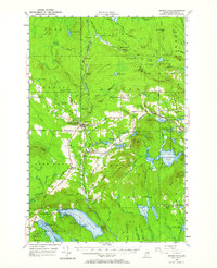
Editions of this 1955 Smyrna Mills Map
4 editions found
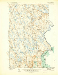
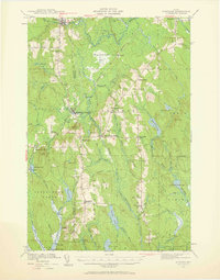
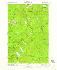
Other maps of this area

1934 · Bridgewater
USGS Topo · 1:48,000

1935 · Howe Brook
USGS Topo · 1:48,000

1937 · Smyrna Mills
USGS Topo · 1:62,500

1938 · Bridgewater
USGS Topo · 1:62,500
1938 · Houlton
USGS Topo · 1:62,500

1939 · Howe Brook
USGS Topo · 1:62,500
1940 · Amity
USGS Topo · 1:62,500

1940 · Island Falls
USGS Topo · 1:62,500
1940 · Sherman
USGS Topo · 1:62,500
1940 · Oxbow
USGS Topo · 1:62,500