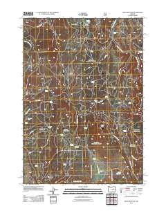
2011 Map of Knox Mountain
USGS Topo · Published 2011About this map
Knox Mountain and Antelope Mountain anchor this high-desert ranching landscape in Harney County, characterized by a complex network of springs and drainage basins. The presence of Ott Cow Camp and Blue Bucket Cow Camp reflects the area's continued use for livestock grazing, supported by seasonal water sources and man-made impoundments like Tamarack Reservoir and Shorty Reservoir. Strategic vantage points such as the Antelope Lookout Tower highlight the importance of fire observation in this arid terrain. Genealogists and local historians can trace family-named landmarks including Miller and Jackson Spring, Westfall Spring, and Moffitt Spring, which provided essential water for early settlers and range riders. The landscape is interconnected by rugged routes like Bingham Rd and the Prairie-Drewsey Rd, marking the transit paths across Antelope Swale.
Find a feature on this map
43 named features on this map. Tap any name to fly to it.
Don’t see what you’re looking for? This feature index may not catch every label — zoom into the map to look around manually.
Map Details
Editions of this 2011 Knox Mountain Map
This is the sole edition of this map. No revisions or reprints were ever made.
Other maps of this area

1908 · Ironside Mountain
USGS Topo · 1:125,000

1955 · Burns
USGS Topo · 1:250,000

1955 · Canyon City
USGS Topo · 1:250,000

1958 · Burns
USGS Topo · 1:250,000

1959 · Burns
USGS Topo · 1:250,000

1959 · Canyon City
USGS Topo · 1:250,000

1961 · Logan Valley
USGS Topo · 1:62,500

1968 · Drewsey
USGS Topo · 1:62,500

1968 · Van
USGS Topo · 1:62,500

1970 · Flag Prairie
USGS Topo · 1:62,500