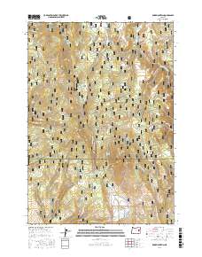
2017 Map of Knox Mountain
USGS Topo · Published 2017About this map
Malheur National Forest dominates this high-elevation landscape on the border of Grant and Harney counties. This modern topographic study reveals a terrain defined by complex water systems, where Knox Mtn and Antelope Mtn serve as prominent landmarks amidst a network of canyons and high flats. The area is heavily marked by seasonal water sources and named springs, including Cottonwood Spring, Bingham Spring, and Alder Spring, which have historically supported local livestock and wildlife in this semi-arid region.
Find a feature on this map
59 named features on this map. Tap any name to fly to it.
Don’t see what you’re looking for? This feature index may not catch every label — zoom into the map to look around manually.
Map Details
Editions of this 2017 Knox Mountain Map
This is the sole edition of this map. No revisions or reprints were ever made.
Other maps of this area

1908 · Ironside Mountain
USGS Topo · 1:125,000

1955 · Burns
USGS Topo · 1:250,000

1955 · Canyon City
USGS Topo · 1:250,000

1958 · Burns
USGS Topo · 1:250,000

1959 · Burns
USGS Topo · 1:250,000

1959 · Canyon City
USGS Topo · 1:250,000

1961 · Logan Valley
USGS Topo · 1:62,500

1968 · Drewsey
USGS Topo · 1:62,500

1968 · Van
USGS Topo · 1:62,500

1970 · Flag Prairie
USGS Topo · 1:62,500