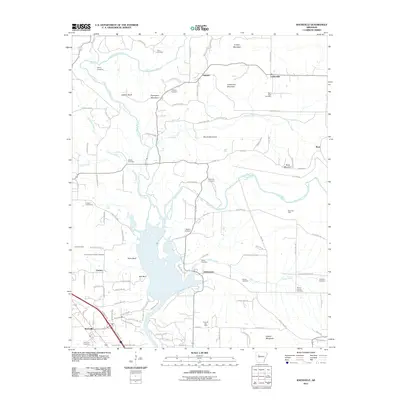
2011 Map of Knoxville
USGS Topo · Published 2011About this map
Big Piney Creek and Little Piney Creek dominate the landscape of Johnson County, converging as they flow south toward the Arkansas River valley. The terrain is defined by a series of prominent bluffs and ridges, including Jackson Bluff, Perry Bluff, and Bee Bluff, which overlook the widening water bodies in the southern half of the quadrangle. This 2011 survey captures a rural landscape where industry and heritage coincide, evidenced by the presence of the Knoxville Gas Field and the Ross Gas Field alongside numerous family burial grounds.
Find a feature on this map
101 named features on this map. Tap any name to fly to it.
Don’t see what you’re looking for? This feature index may not catch every label — zoom into the map to look around manually.
Map Details
Editions of this 2011 Knoxville Map
This is the sole edition of this map. No revisions or reprints were ever made.
Other maps of this area

1888 · Dardanelle #2
USGS Topo · 1:62,500

1888 · Dardanelle #1
USGS Topo · 1:62,500

1889 · Treat
USGS Topo · 1:62,500

1889 · Ozone
USGS Topo · 1:62,500

1890 · Dardanelle
USGS Topo · 1:125,000

1932 · Treat
USGS Topo · 1:62,500

1934 · Treat
USGS Topo · 1:62,500

1934 · Ozone
USGS Topo · 1:62,500

1936 · Ozone
USGS Topo · 1:62,500

1956 · Russellville
USGS Topo · 1:250,000