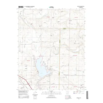
2014 Map of Knoxville
USGS Topo · Published 2014About this map
Lake Dardanelle dominates the southern landscape of this Johnson County region, where the waters meet prominent landforms like Perry Bluff and Bee Bluff. The settlement pattern reflects a mix of high-ground communities and river-adjacent towns, with Knoxville and Lamar situated near the southern corridor while Hagarville, Holman, and Lutherville anchor the northern hills. The terrain is marked by numerous family and community burial grounds, including the Lewis Johnson Family Cem, Maddin Cem, and Reynolds Cem, which offer significant touchpoints for local genealogical research. Industrial footprints are evident through the Knoxville Gas Field and Ross Gas Field, indicating the importance of energy extraction in the local economy. Waterways like Little Piney Creek and Big Piney Creek carve through the topography, flanked by elevations such as Thompson Mtn and Lutherville Mtn.
Find a feature on this map
127 named features on this map. Tap any name to fly to it.
Don’t see what you’re looking for? This feature index may not catch every label — zoom into the map to look around manually.
Map Details
Editions of this 2014 Knoxville Map
This is the sole edition of this map. No revisions or reprints were ever made.
Other maps of this area

1888 · Dardanelle #2
USGS Topo · 1:62,500

1888 · Dardanelle #1
USGS Topo · 1:62,500

1889 · Treat
USGS Topo · 1:62,500

1889 · Ozone
USGS Topo · 1:62,500

1890 · Dardanelle
USGS Topo · 1:125,000

1932 · Treat
USGS Topo · 1:62,500

1934 · Treat
USGS Topo · 1:62,500

1934 · Ozone
USGS Topo · 1:62,500

1936 · Ozone
USGS Topo · 1:62,500

1956 · Russellville
USGS Topo · 1:250,000