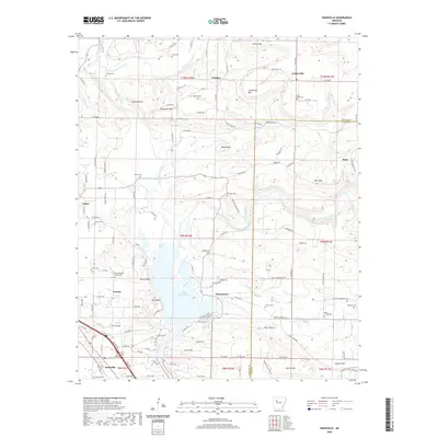
2020 Map of Knoxville
USGS Topo · Published 2020About this map
Lake Dardanelle dominates the southern landscape of this Johnson and Pope County region, where the waters of Big Piney Creek and Little Piney Creek converge near the riverbank settlements of Knoxville and Hickeytown. The terrain is defined by a series of prominent elevations, including Lutherville Mtn, Ross Mtn, and the dramatic river-facing Jackson Bluff and Bee Bluff.
Find a feature on this map
53 named features on this map. Tap any name to fly to it.
Don’t see what you’re looking for? This feature index may not catch every label — zoom into the map to look around manually.
Map Details
Editions of this 2020 Knoxville Map
This is the sole edition of this map. No revisions or reprints were ever made.
Other maps of this area
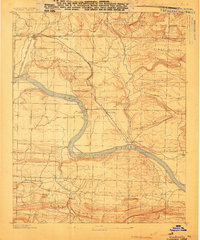
1888 · Dardanelle #2
USGS Topo · 1:62,500
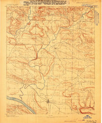
1888 · Dardanelle #1
USGS Topo · 1:62,500

1889 · Treat
USGS Topo · 1:62,500
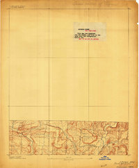
1889 · Ozone
USGS Topo · 1:62,500

1890 · Dardanelle
USGS Topo · 1:125,000
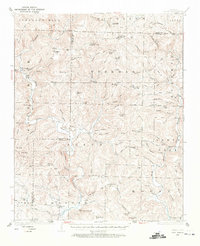
1932 · Treat
USGS Topo · 1:62,500
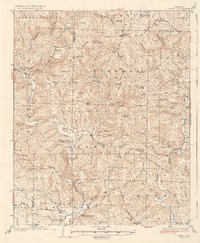
1934 · Treat
USGS Topo · 1:62,500
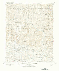
1934 · Ozone
USGS Topo · 1:62,500
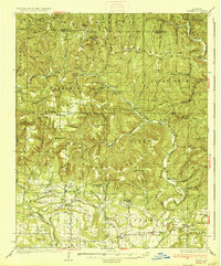
1936 · Ozone
USGS Topo · 1:62,500

1956 · Russellville
USGS Topo · 1:250,000