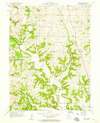
1957 Map of Knoxville
USGS Topo · Published 1958About this map
Crooked River and its numerous tributaries, including Cockerel Creek and Rocky Fork, define the landscape of Ray County in this mid-century survey. The terrain is a network of ridges and drainage basins, where the rural social fabric is evidenced by small, scattered institutions. Community life centers on locations like Bethlehem Ch, Bethel Ch, and the Union Ch, while education was distributed among local schoolhouses such as Crenshaw Sch and Pleasant Valley Sch.
Find a feature on this map
22 named features on this map. Tap any name to fly to it.
Don’t see what you’re looking for? This feature index may not catch every label — zoom into the map to look around manually.
Map Details
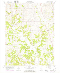
Editions of this 1957 Knoxville Map
2 editions found
Other maps of this area

1889 · Lexington
USGS Topo · 1:125,000

1894 · Independence
USGS Topo · 1:125,000

1924 · Polo
USGS Topo · 1:62,500

1924 · Braymer
USGS Topo · 1:62,500

1950 · Kansas City
USGS Topo · 1:250,000

1953 · Moberly
USGS Topo · 1:250,000

1954 · Kansas City
USGS Topo · 1:250,000

1954 · Moberly
USGS Topo · 1:250,000

1956 · Kansas City
USGS Topo · 1:250,000

1957 · Moberly
USGS Topo · 1:250,000