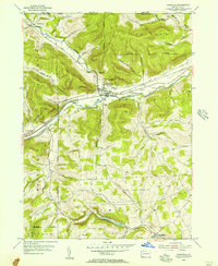
1954 Map of Knoxville
USGS Topo · Published 1956About this map
The Cowanesque River valley serves as the primary corridor for industry and transit in the mid-1950s, where both the Baltimore and Ohio and New York Central railroads converge at the borough of Knoxville. This intersection of rail lines highlights the area's importance as a transportation hub for northern Tioga County. To the east, Academy Corners marks a smaller node of settlement near the Tarnell Brook confluence.
Find a feature on this map
47 named features on this map. Tap any name to fly to it.
Don’t see what you’re looking for? This feature index may not catch every label — zoom into the map to look around manually.
Map Details
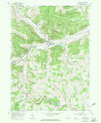
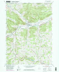
Editions of this 1954 Knoxville Map
3 editions found
Other maps of this area

1899 · Gaines
USGS Topo · 1:62,500

1900 · Gaines
USGS Topo · 1:62,500

1900 · Elkland
USGS Topo · 1:62,500

1924 · Woodhull
USGS Topo · 1:48,000

1926 · Woodhull
USGS Topo · 1:62,500

1926 · Greenwood
USGS Topo · 1:62,500

1944 · Woodhull
USGS Topo · 1:62,500

1950 · Elmira
USGS Topo · 1:250,000

1953 · Woodhull
USGS Topo · 1:24,000
1953 · Borden
USGS Topo · 1:24,000